Day 14, Eureka, MT to Whitefish, MT (and then to the Montana Bike Hostel): 63.4 miles, 3,411 ft. elevation gain, 11.5 mph average speed
Trip totals: 792.3 miles (60.9 daily average), 48,243 ft. elevation gain, 11.0 mph overall average speed
Map and stats here.
The title of this post may be a bit misleading, since we’re only a couple of days away from taking “Going to the Sun road” over Logan Pass in Glacier National Park. But today, we raced the sun.
Yesterday, you’ll remember (or you just read), was terrible. And the fact that we were riding in 100+degree temperatures made it so much worse. Then, the other bike tourists at our warm showers place last night told us that it was going to be even hotter (!) in Whitefish, our destination for today.
We couldn’t fathom riding through that heat again, so we decided to get to Whitefish as early as possible. We woke up shortly after 5:00a, ate an AMAZING breakfast prepared by our Warmshowers host (you’re wonderful, Nikki!), and got on the road by 6:30a, an hour before our standard time.

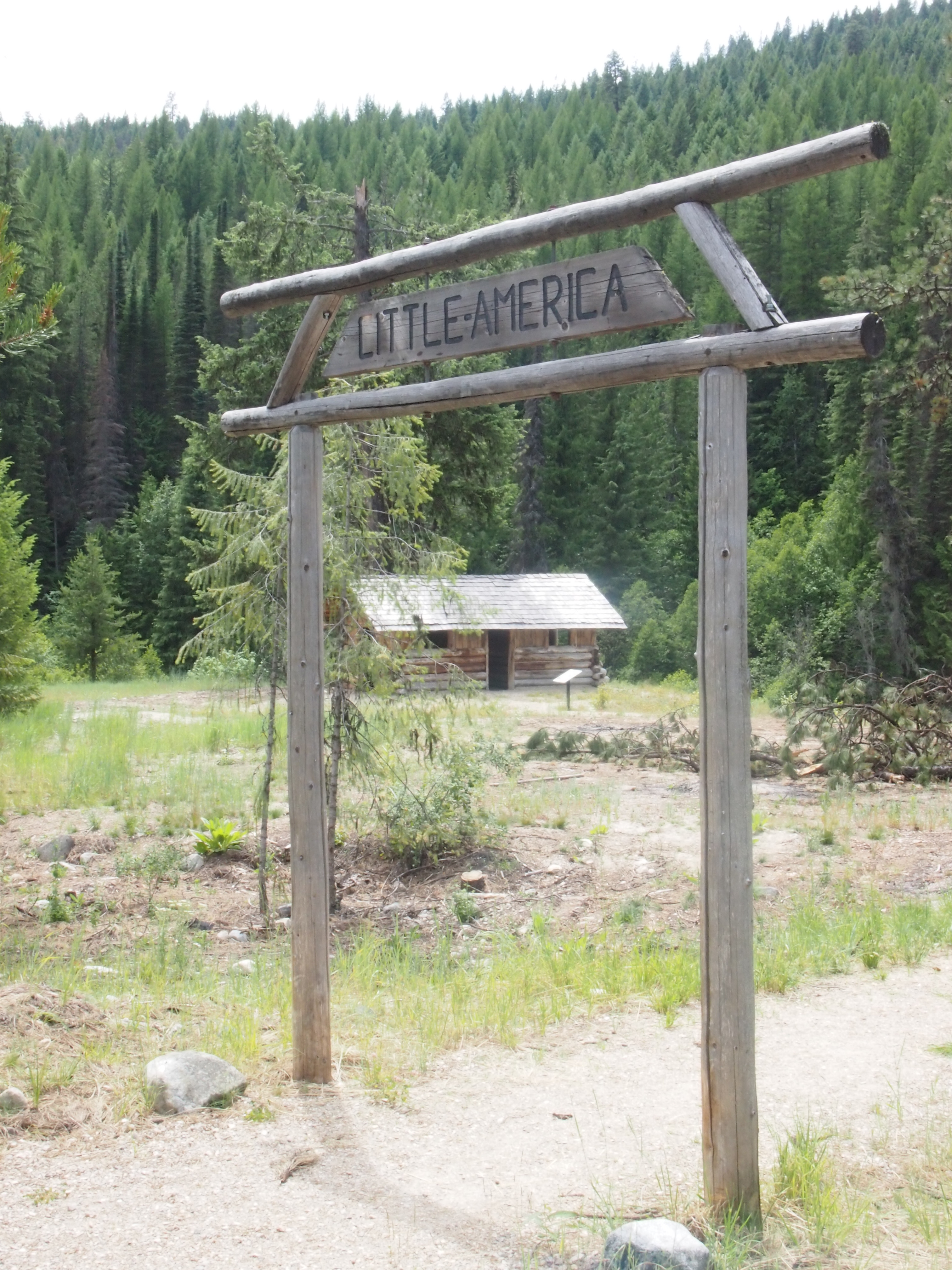
You’d think they’d realize their mistake pretty immediately, but we saw several of these on the road today.
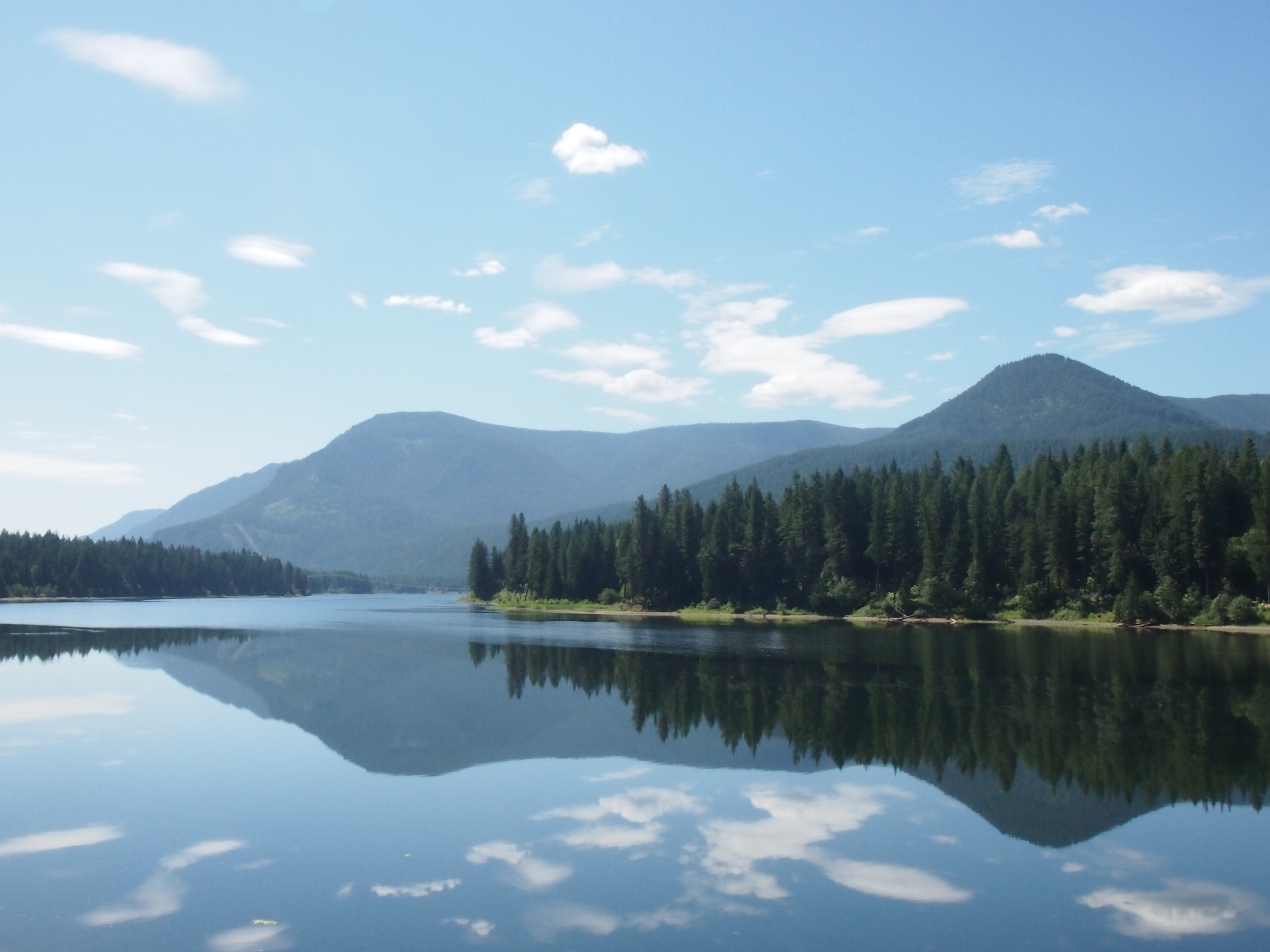
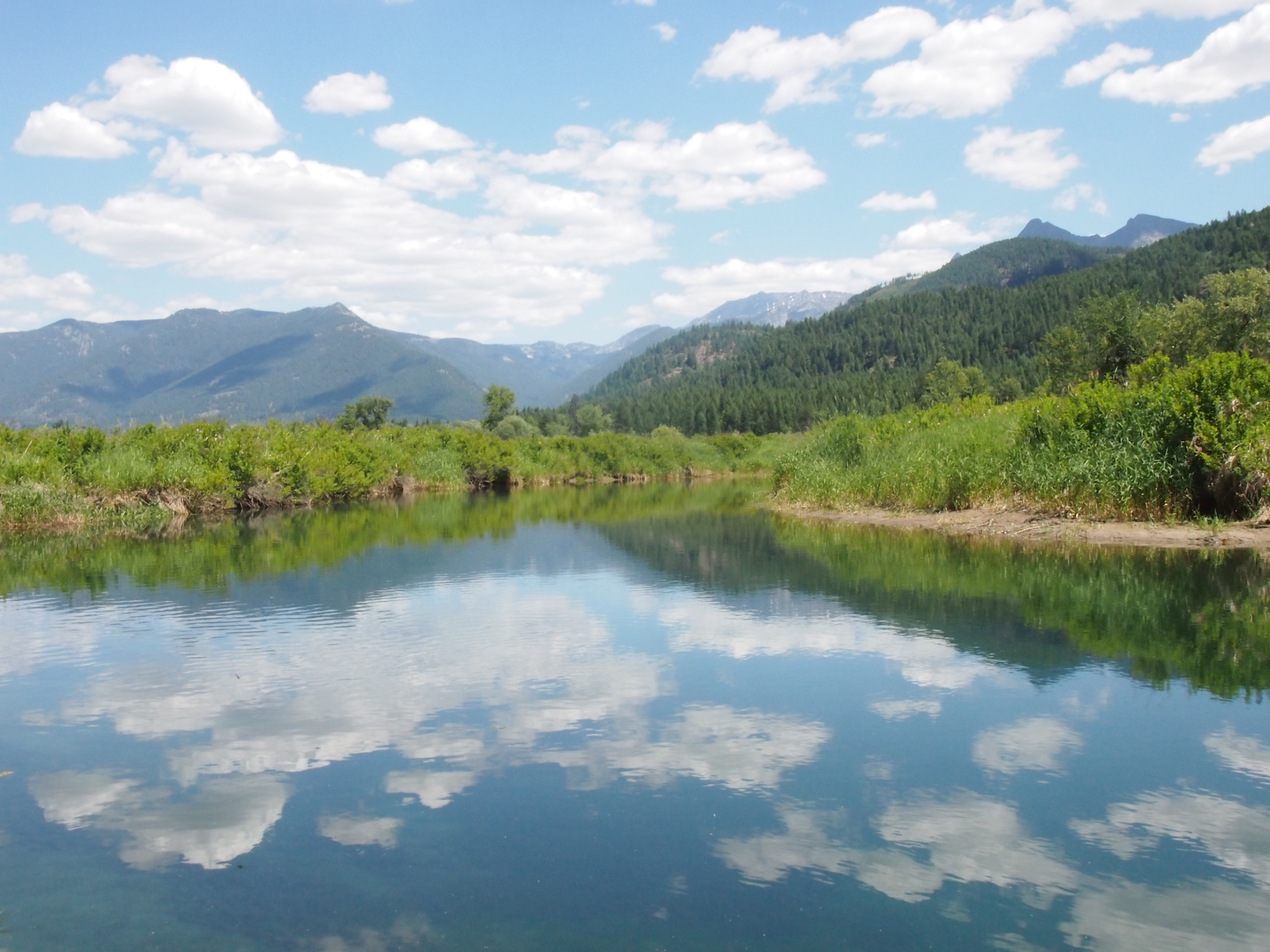
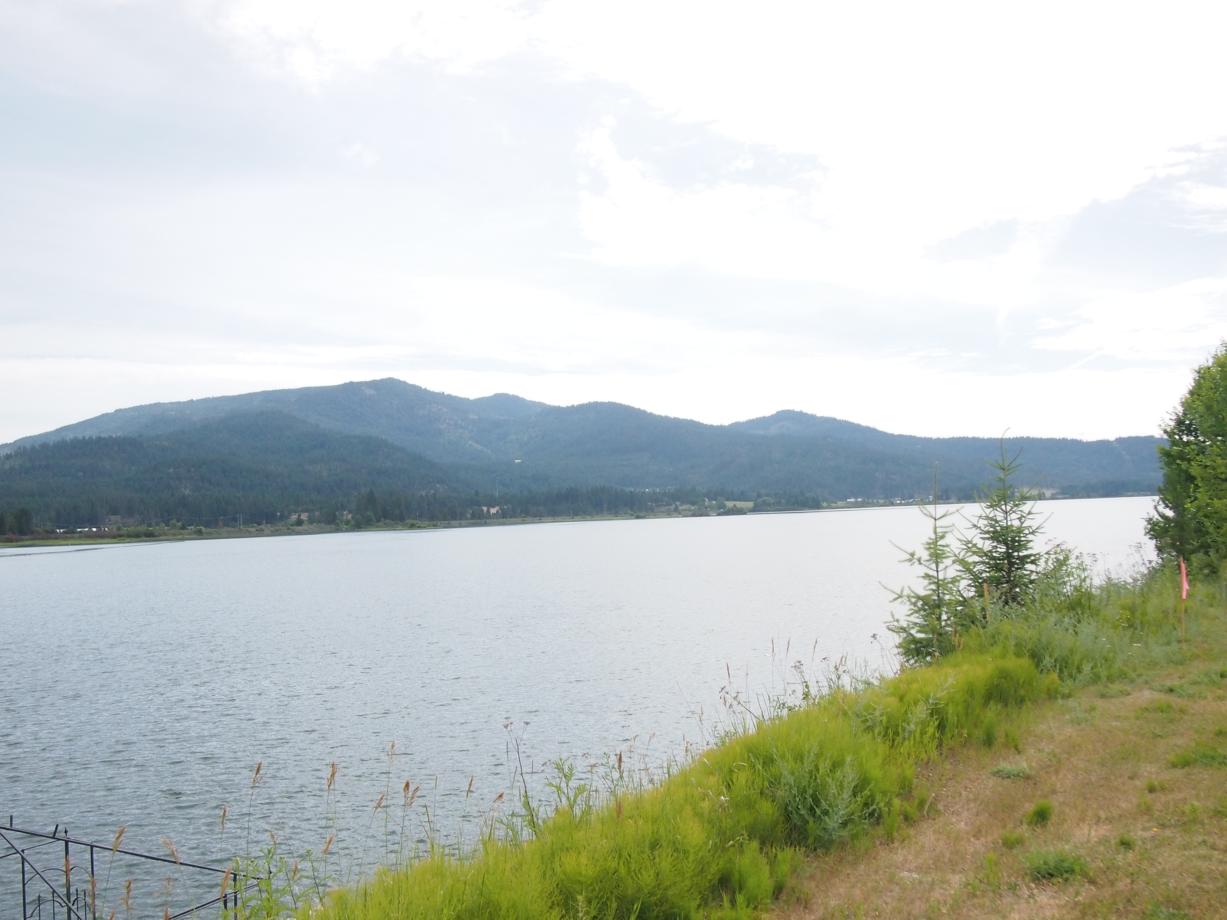
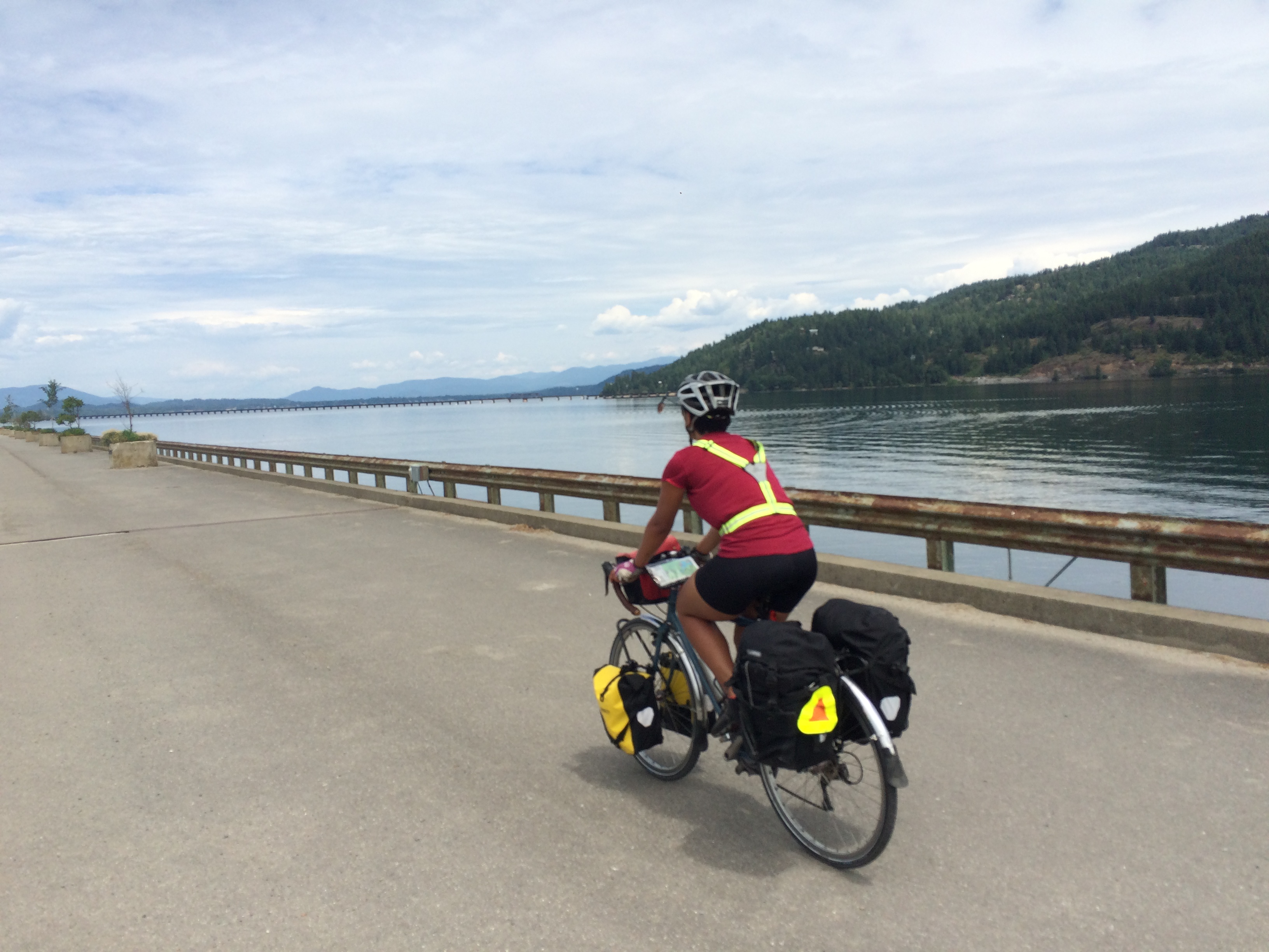
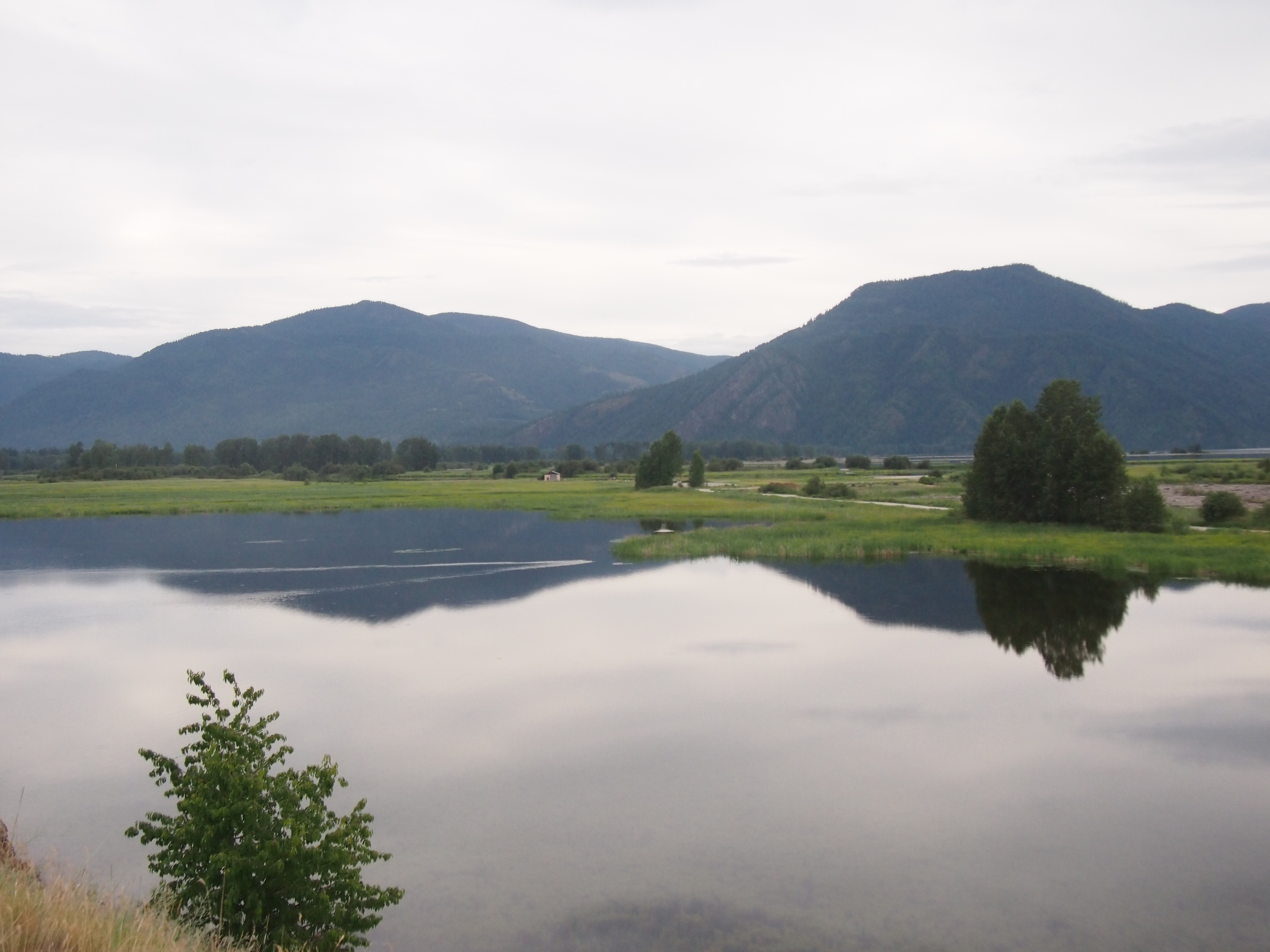
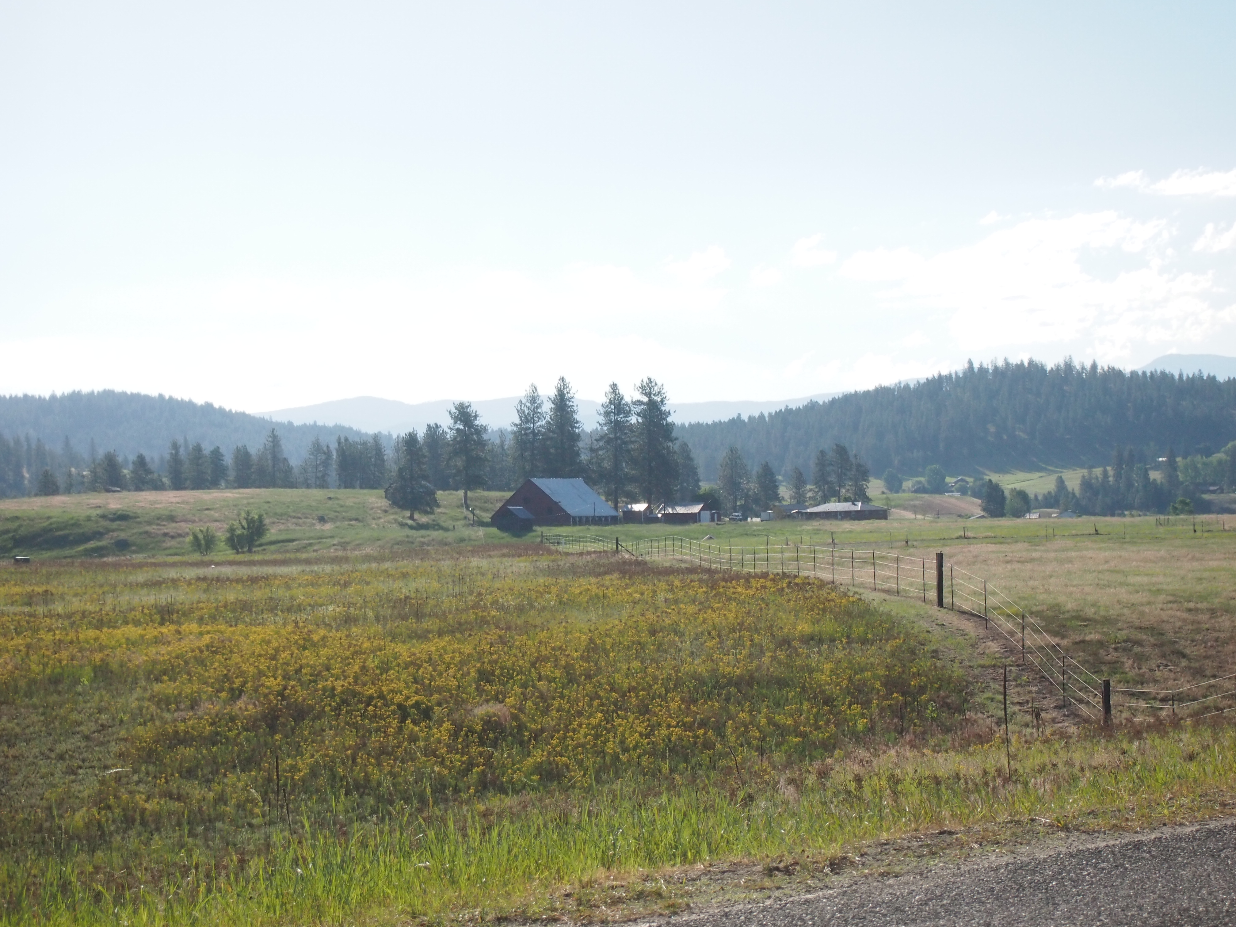
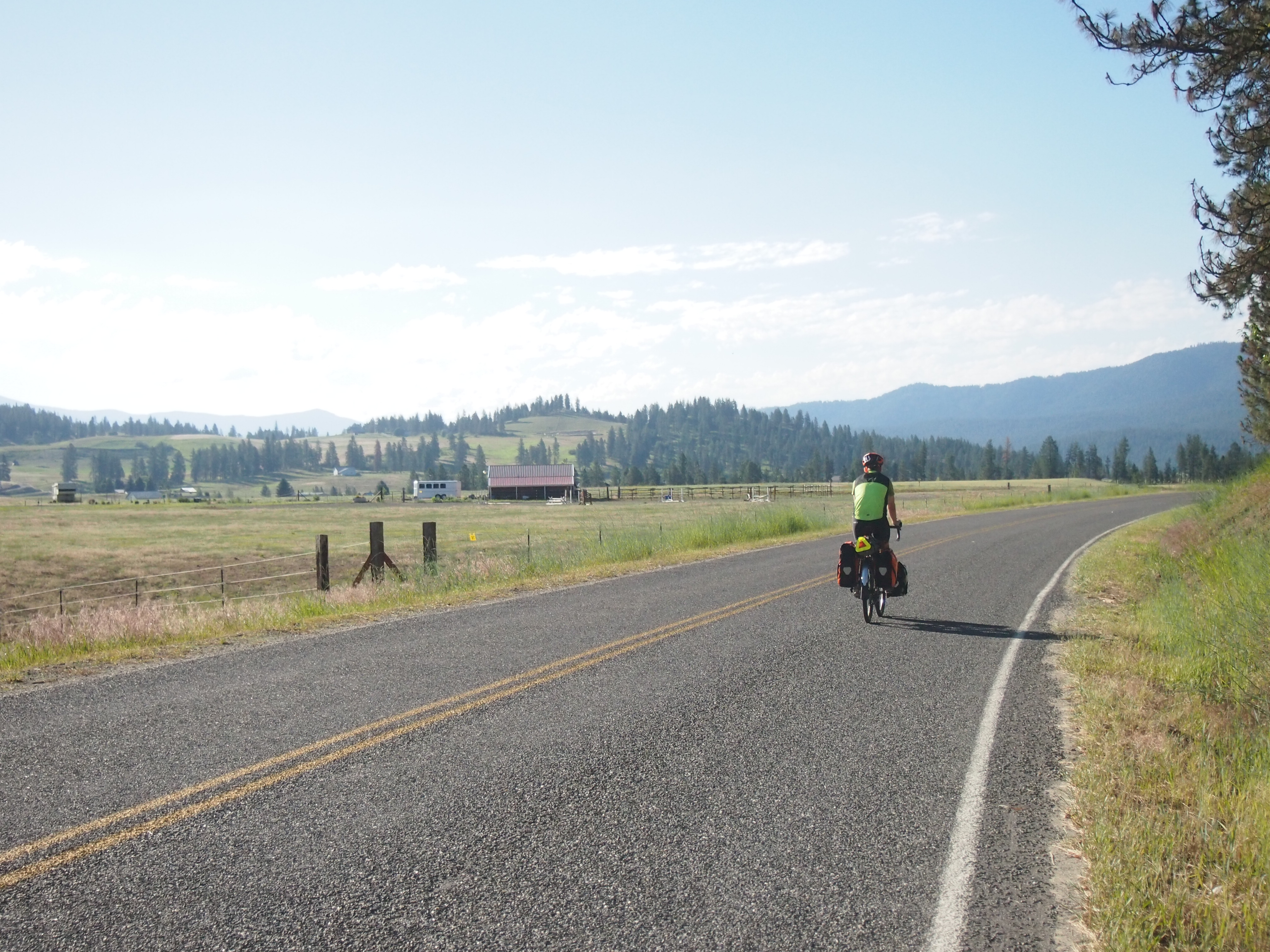
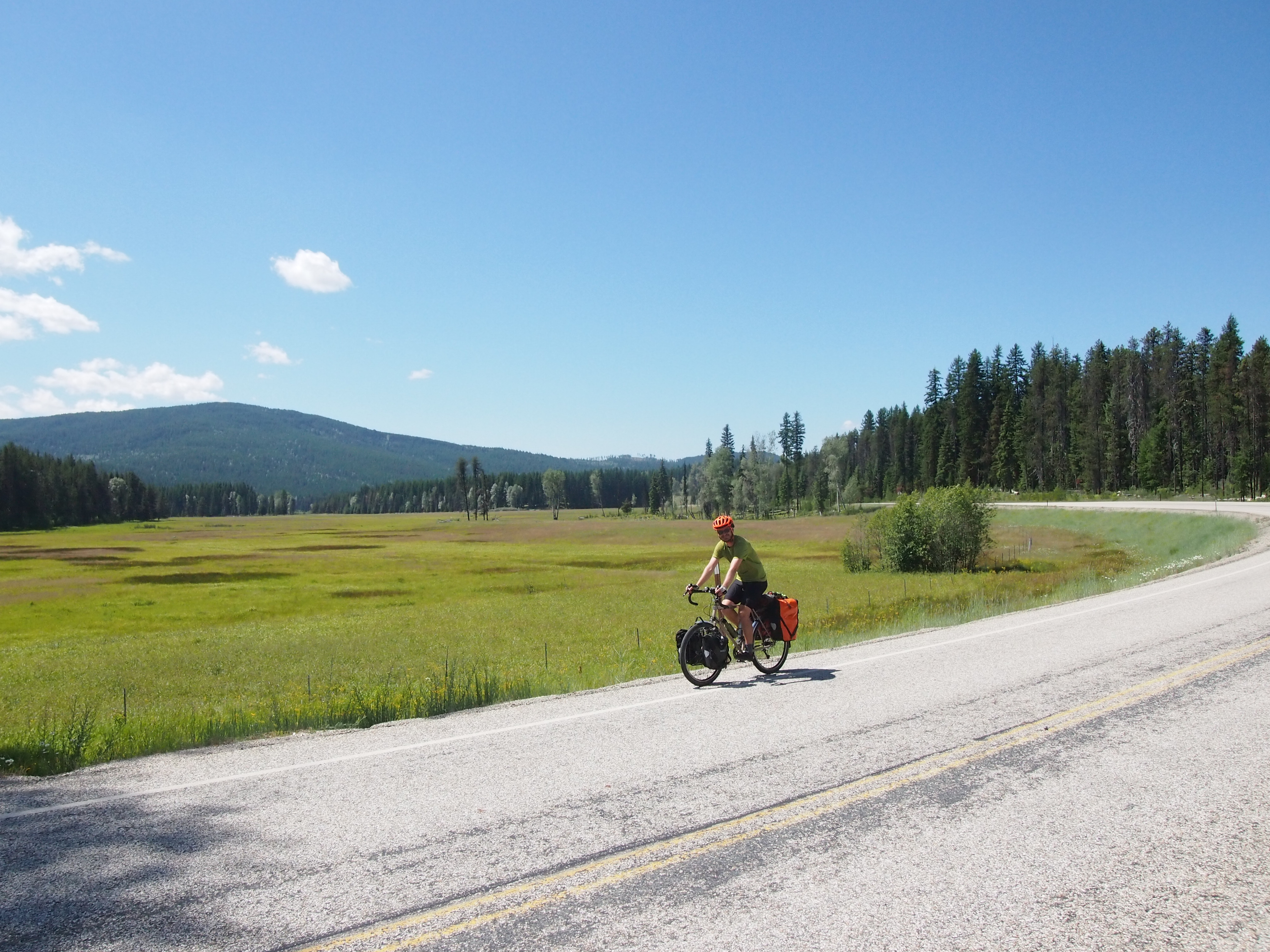
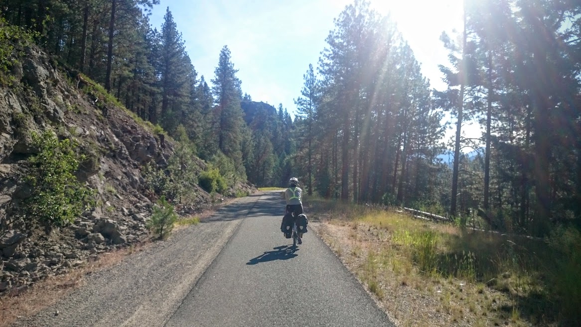
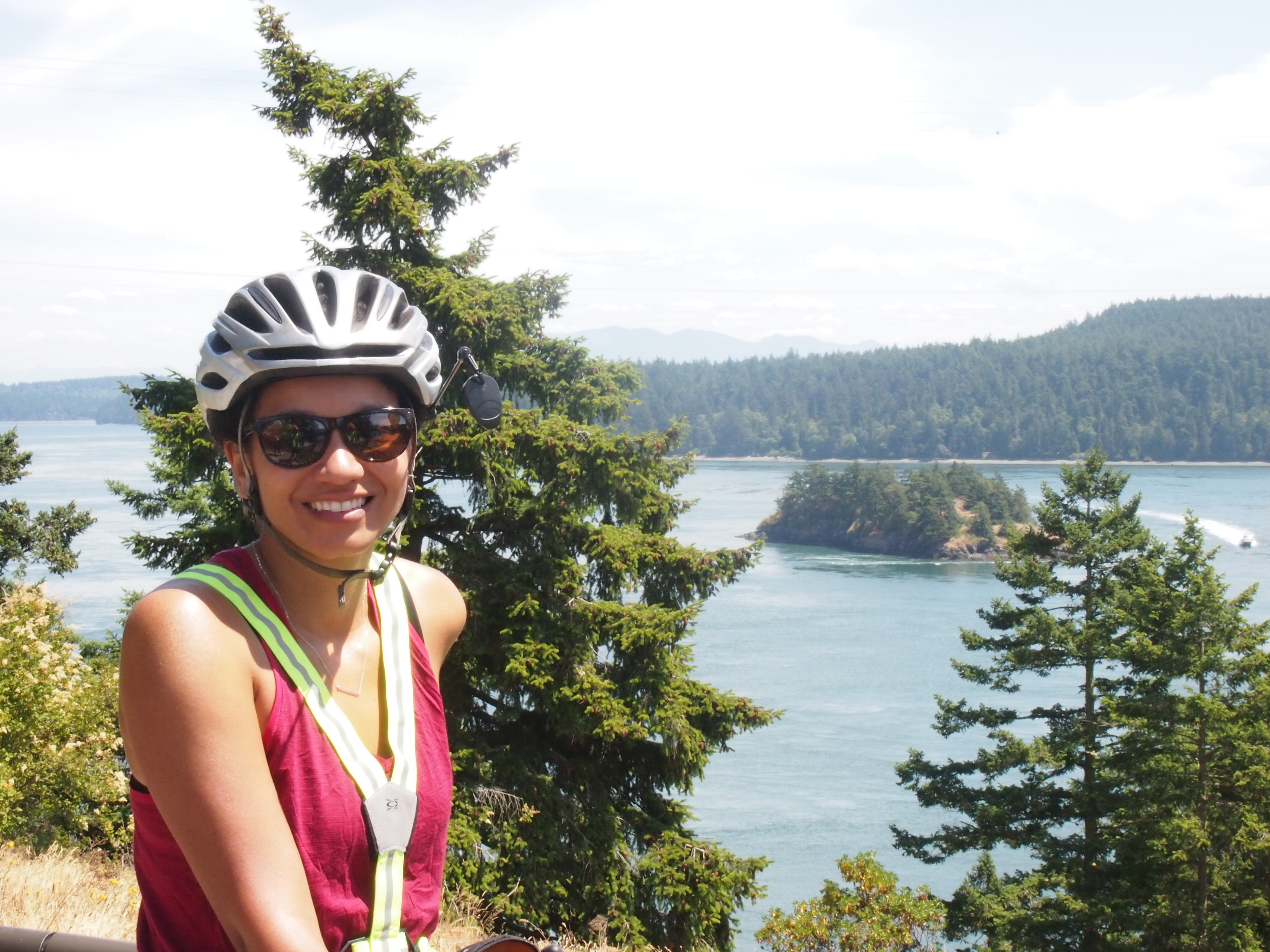
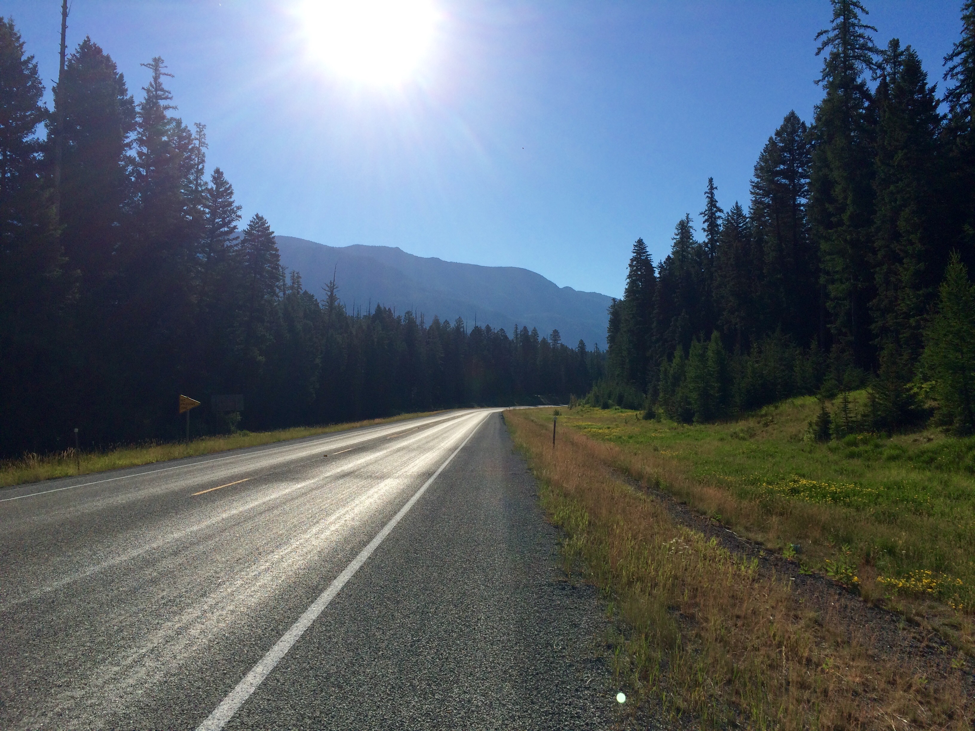
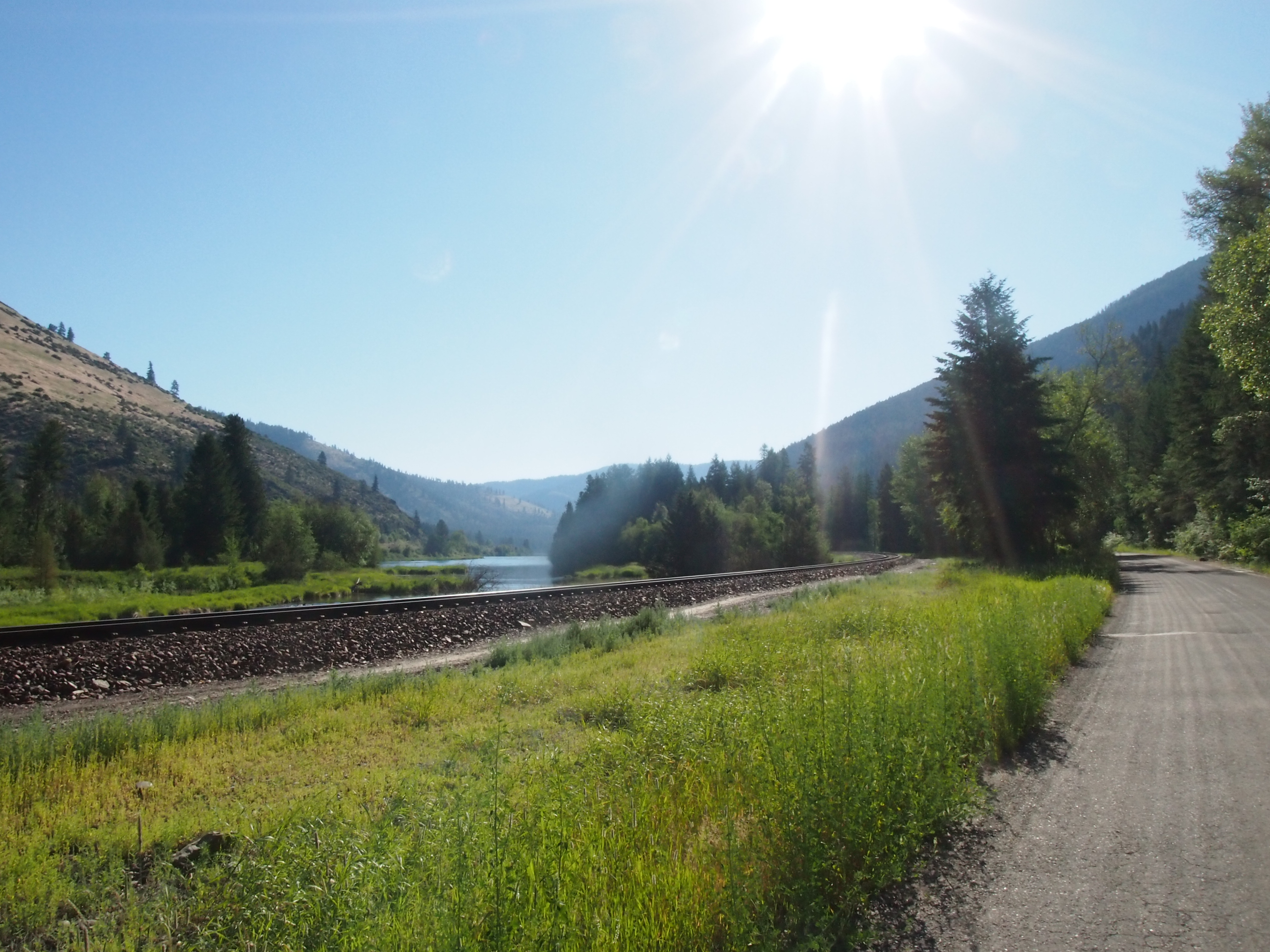
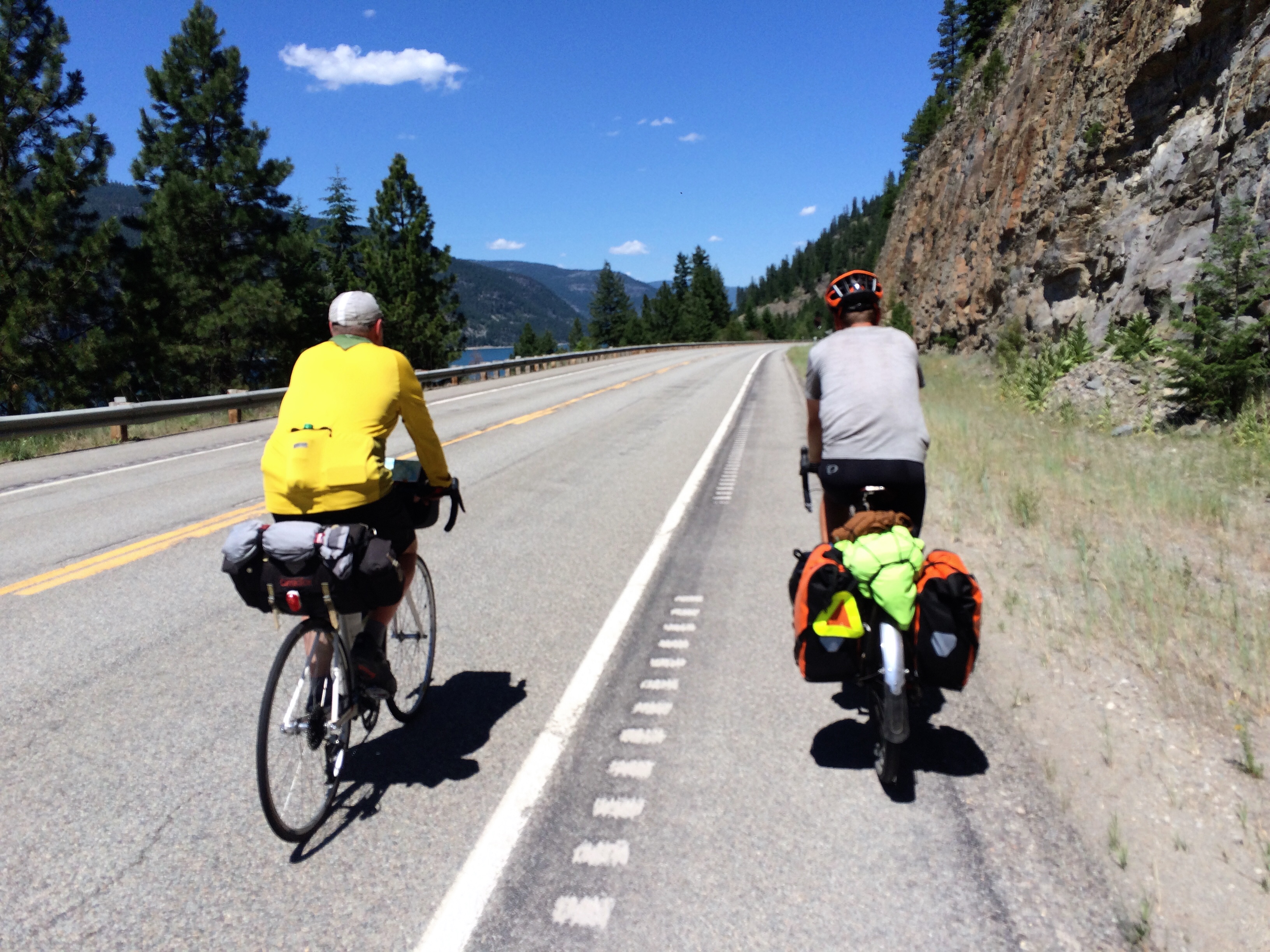
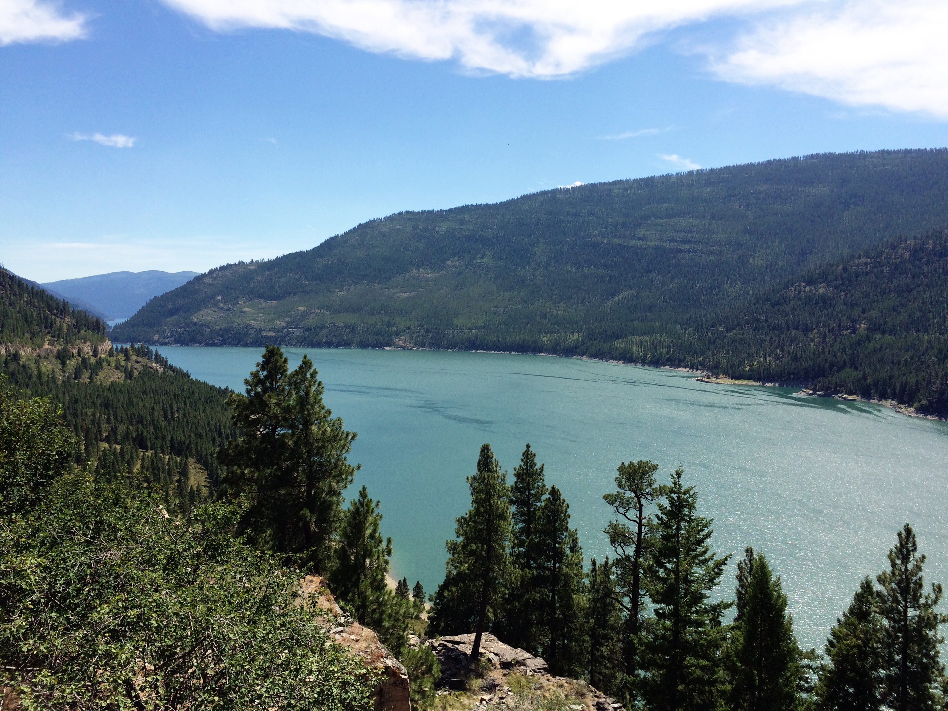
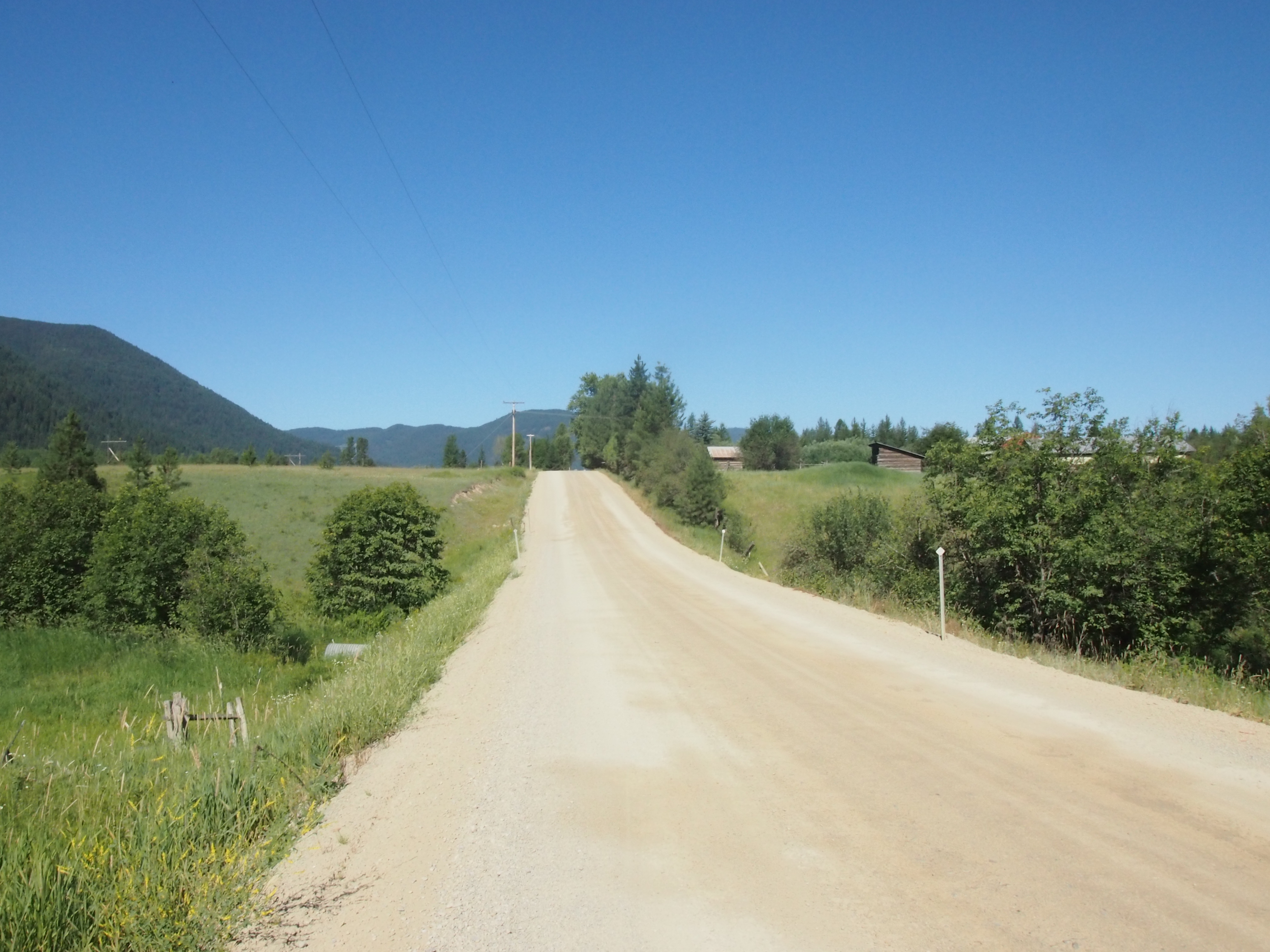
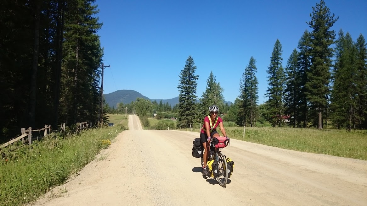
And that was just the first half of our race strategy. The second was to cut down on our usually numerous breaks. We took a short break 5 miles in to stretch, a brief break shortly after that to take a picture, another break 30 miles in to grab second breakfast, and then we pretty much cruised the rest of the way. Although, part of the reason for the lack of breaks was the fact that we were riding on a major-ish highway with minimal shoulder.
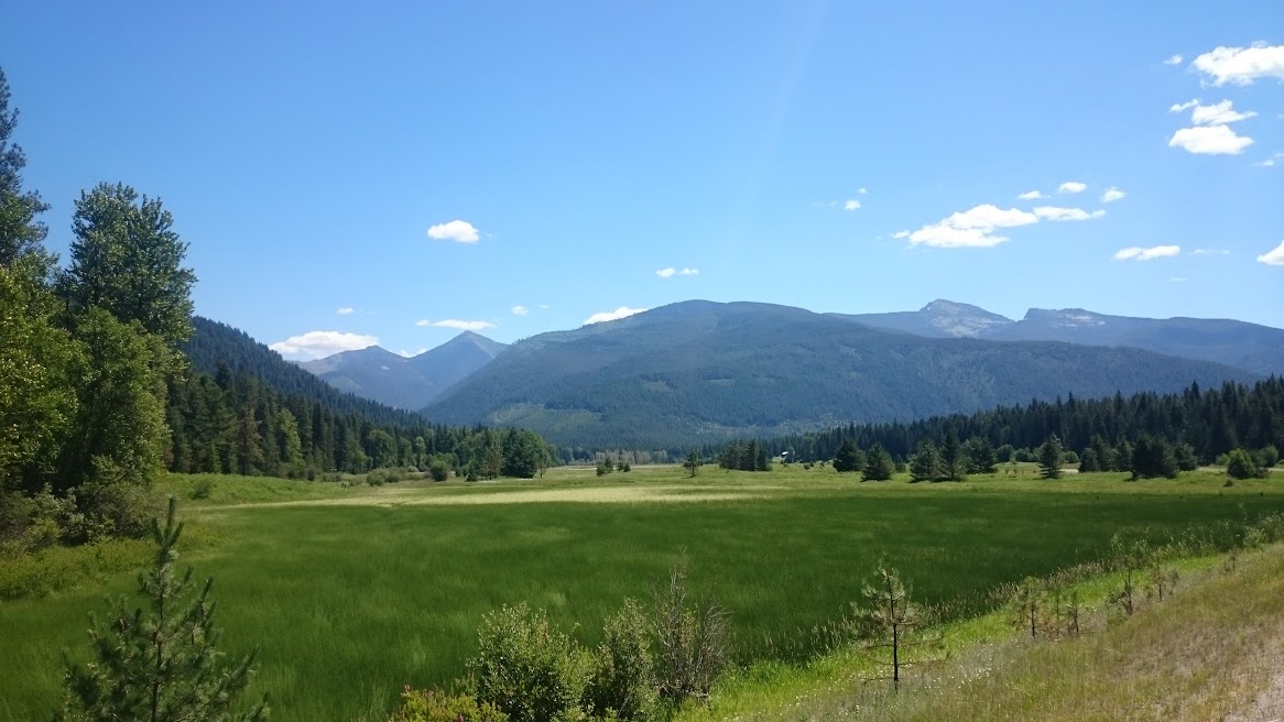
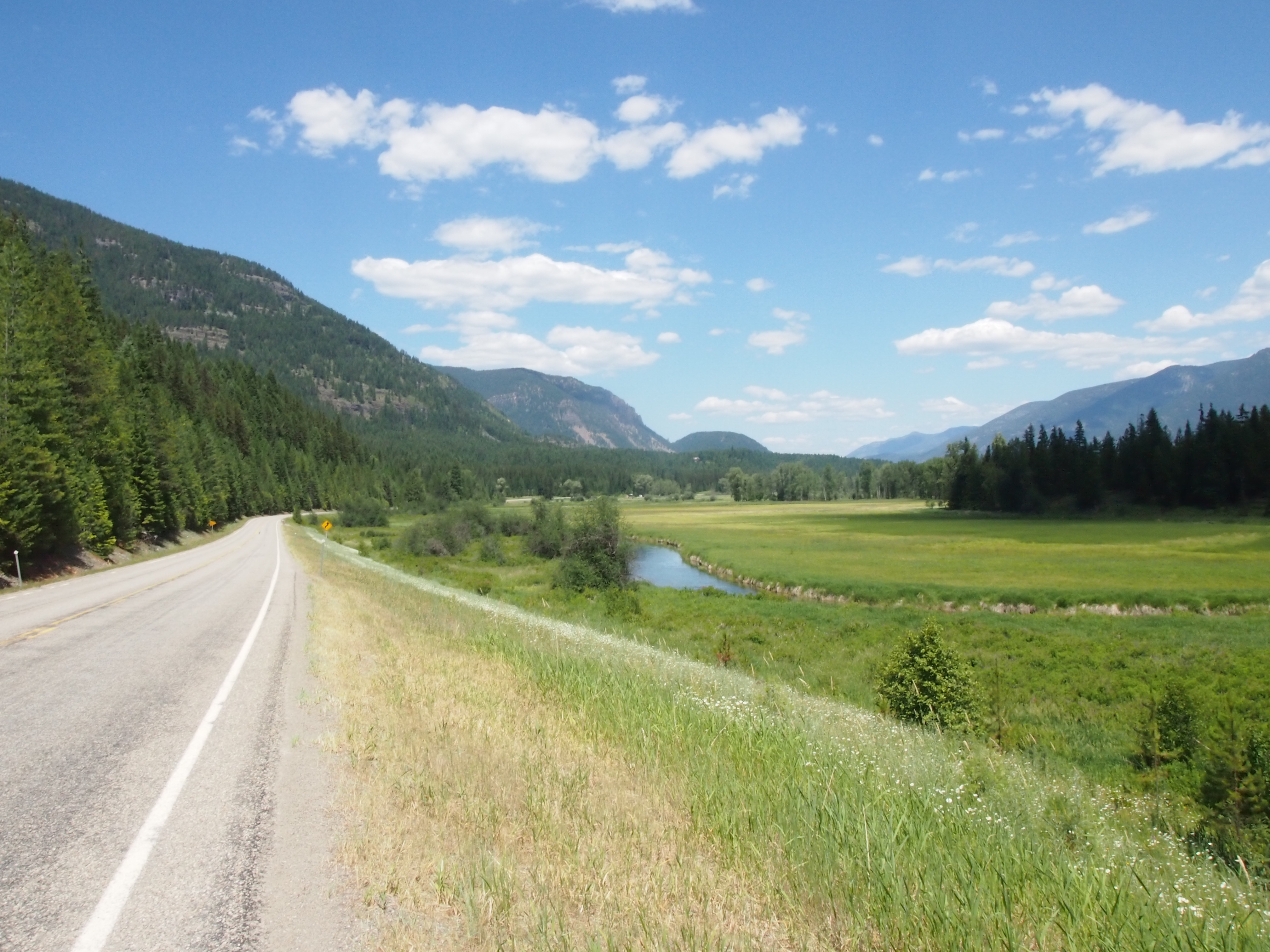
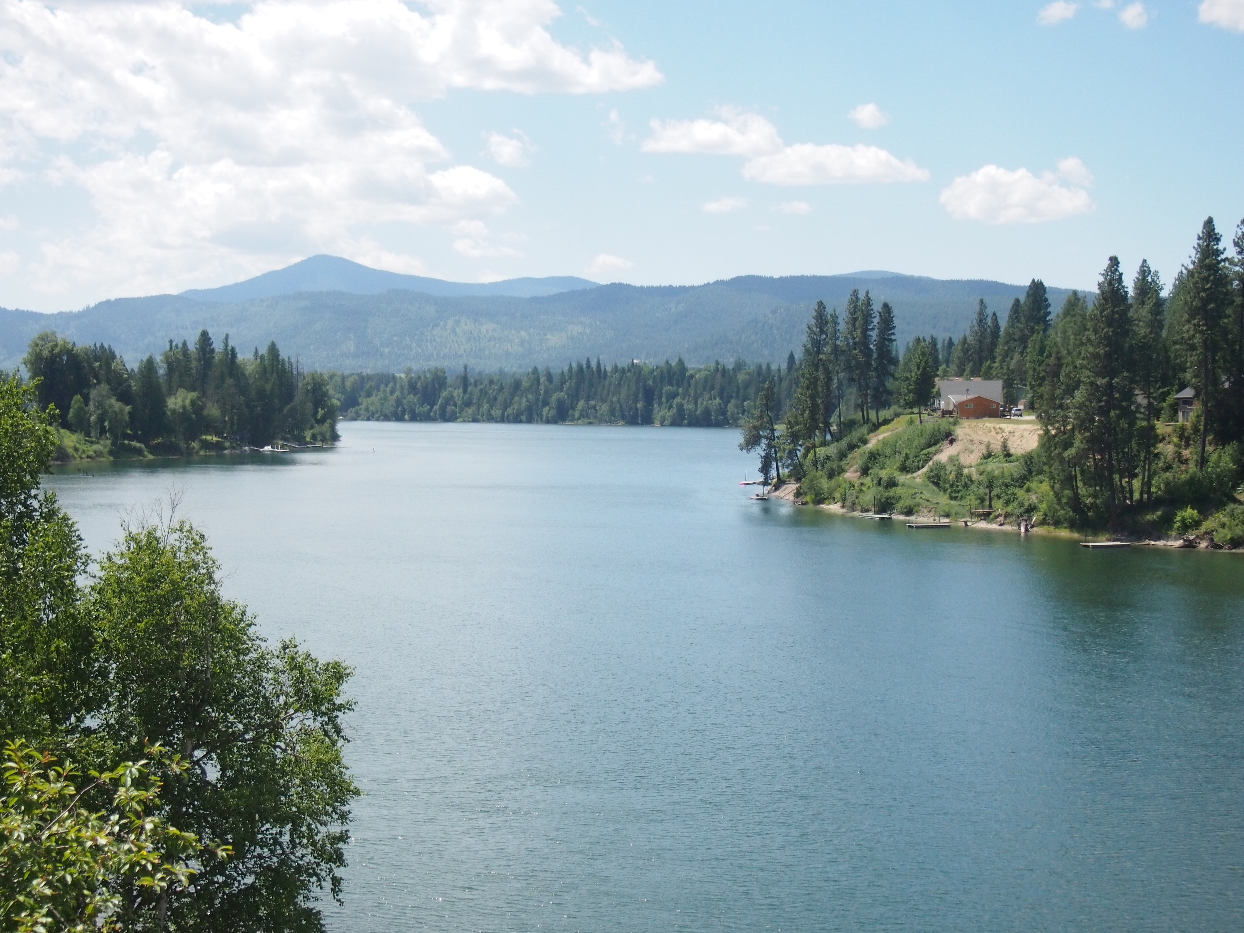
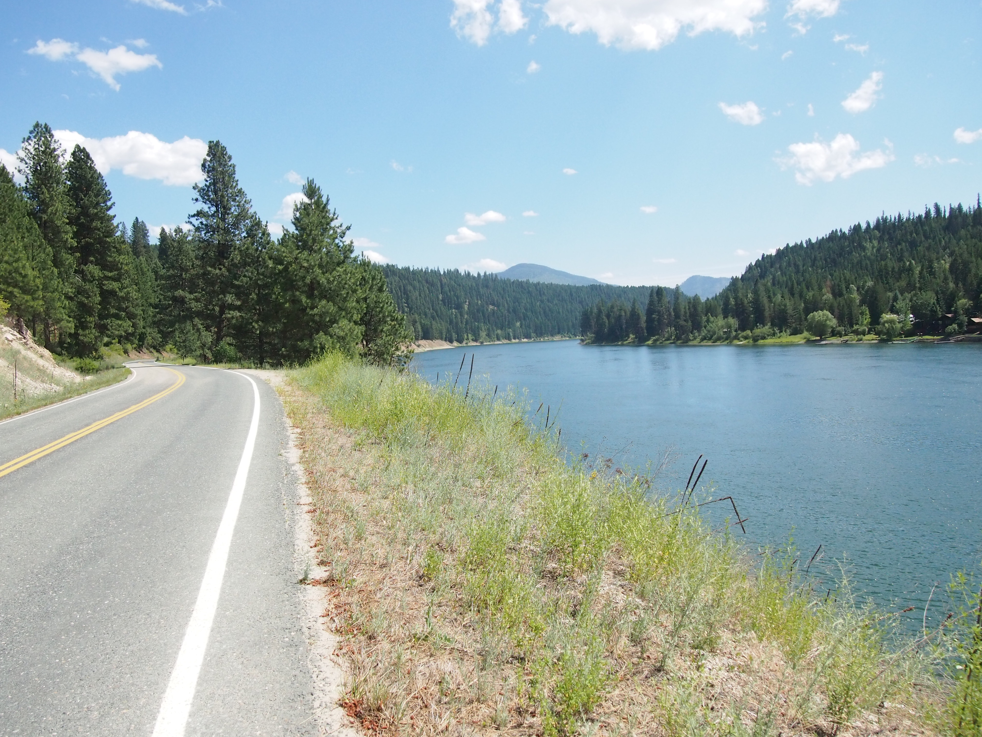
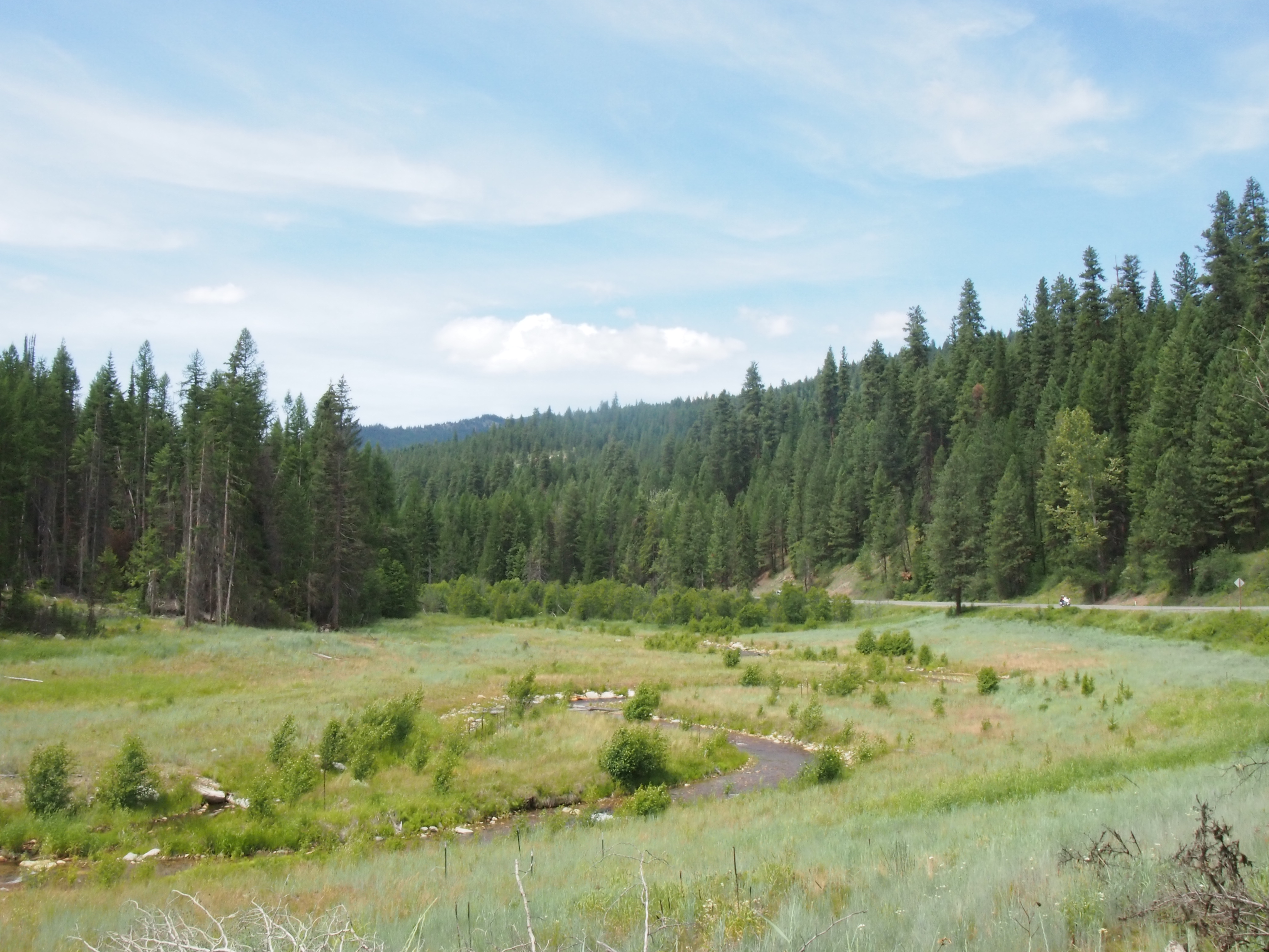
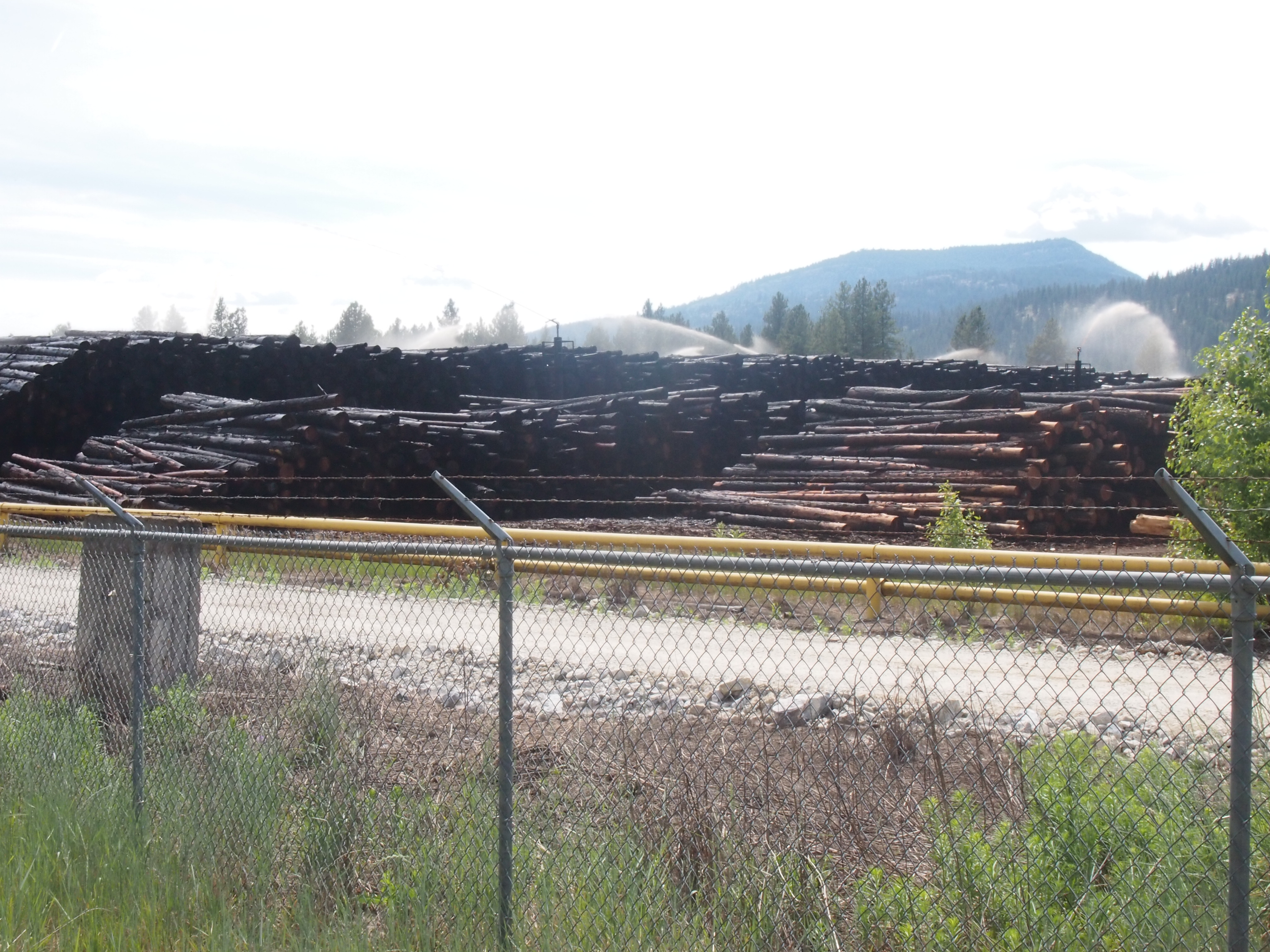
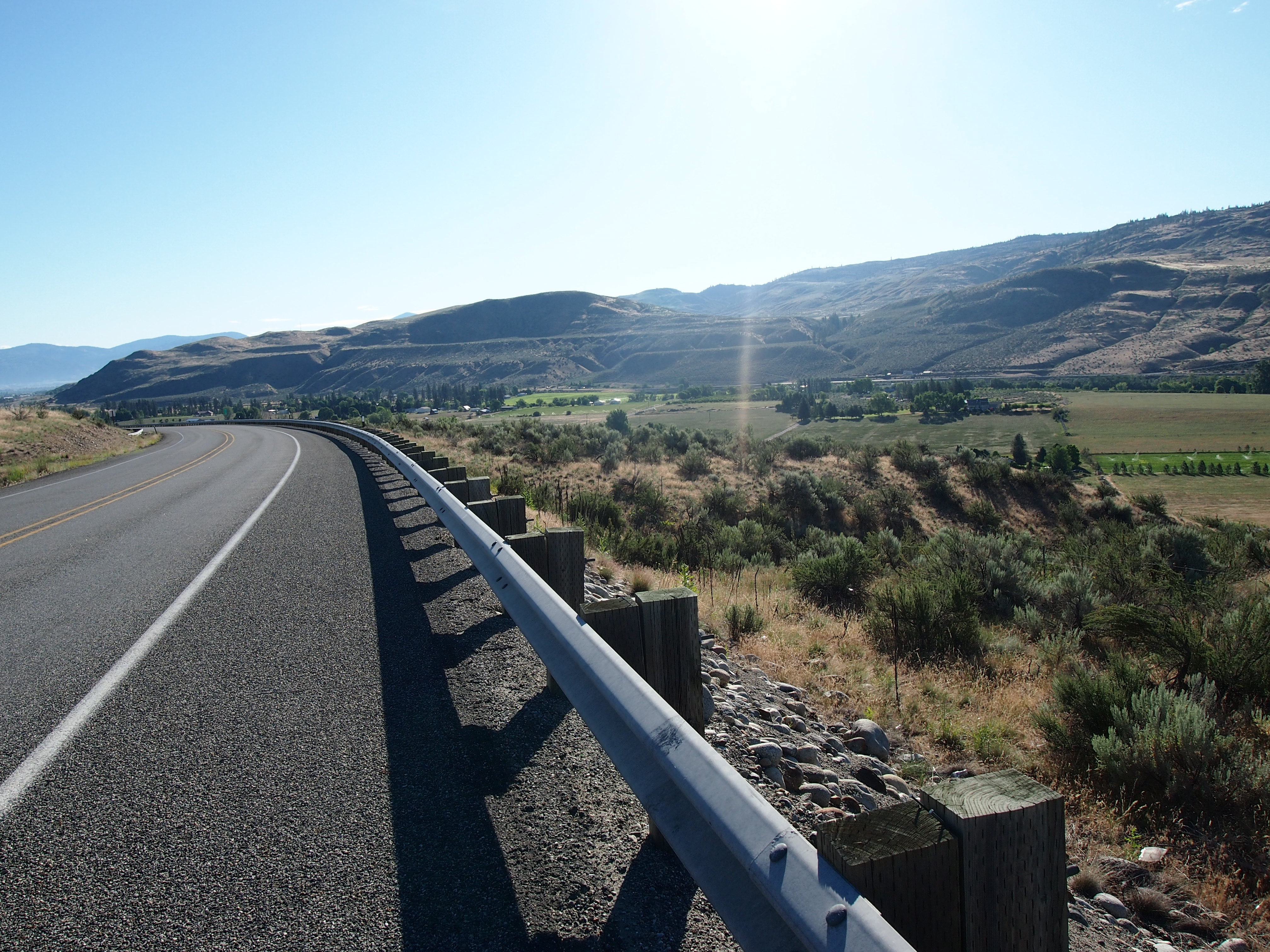
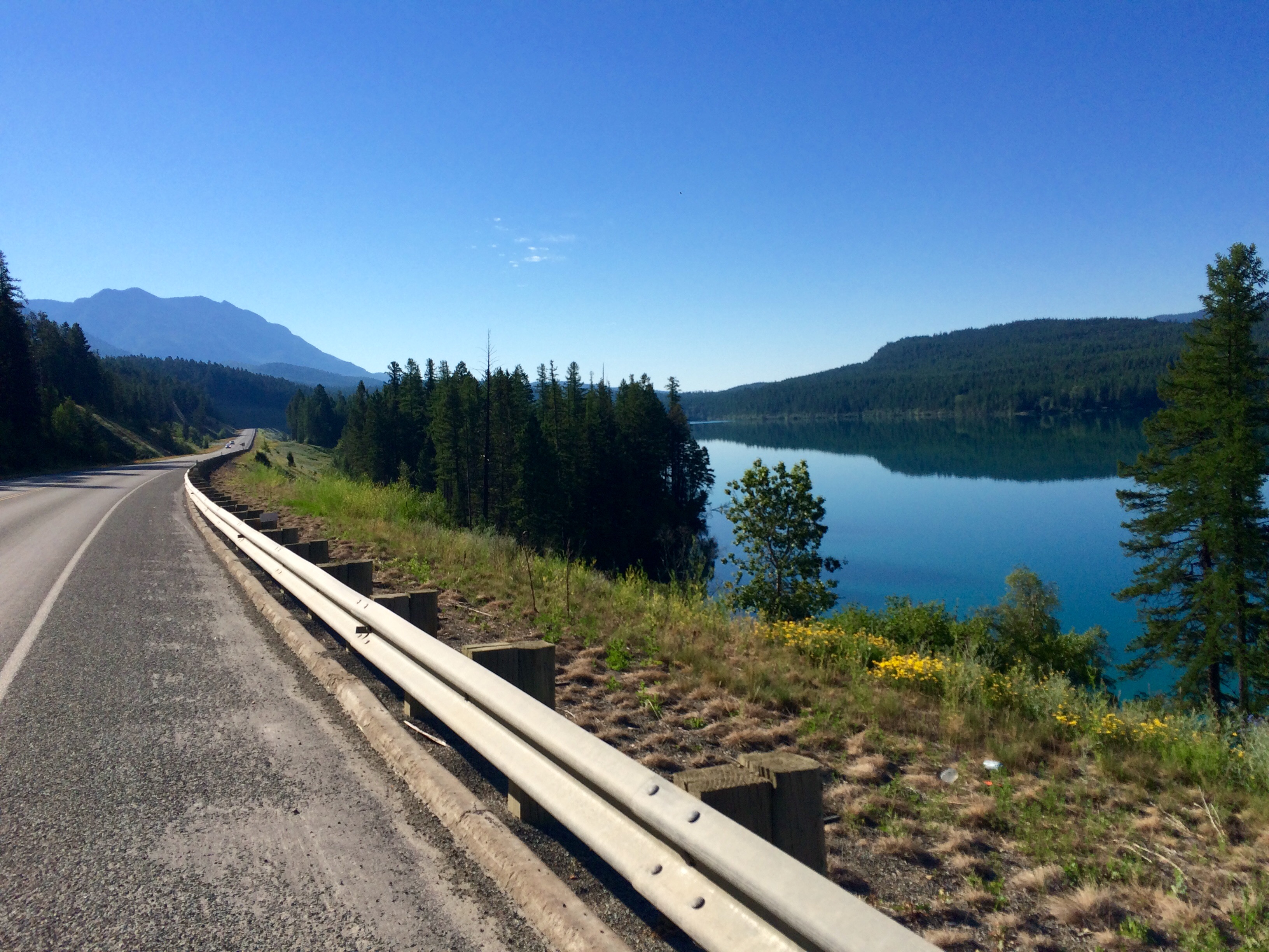
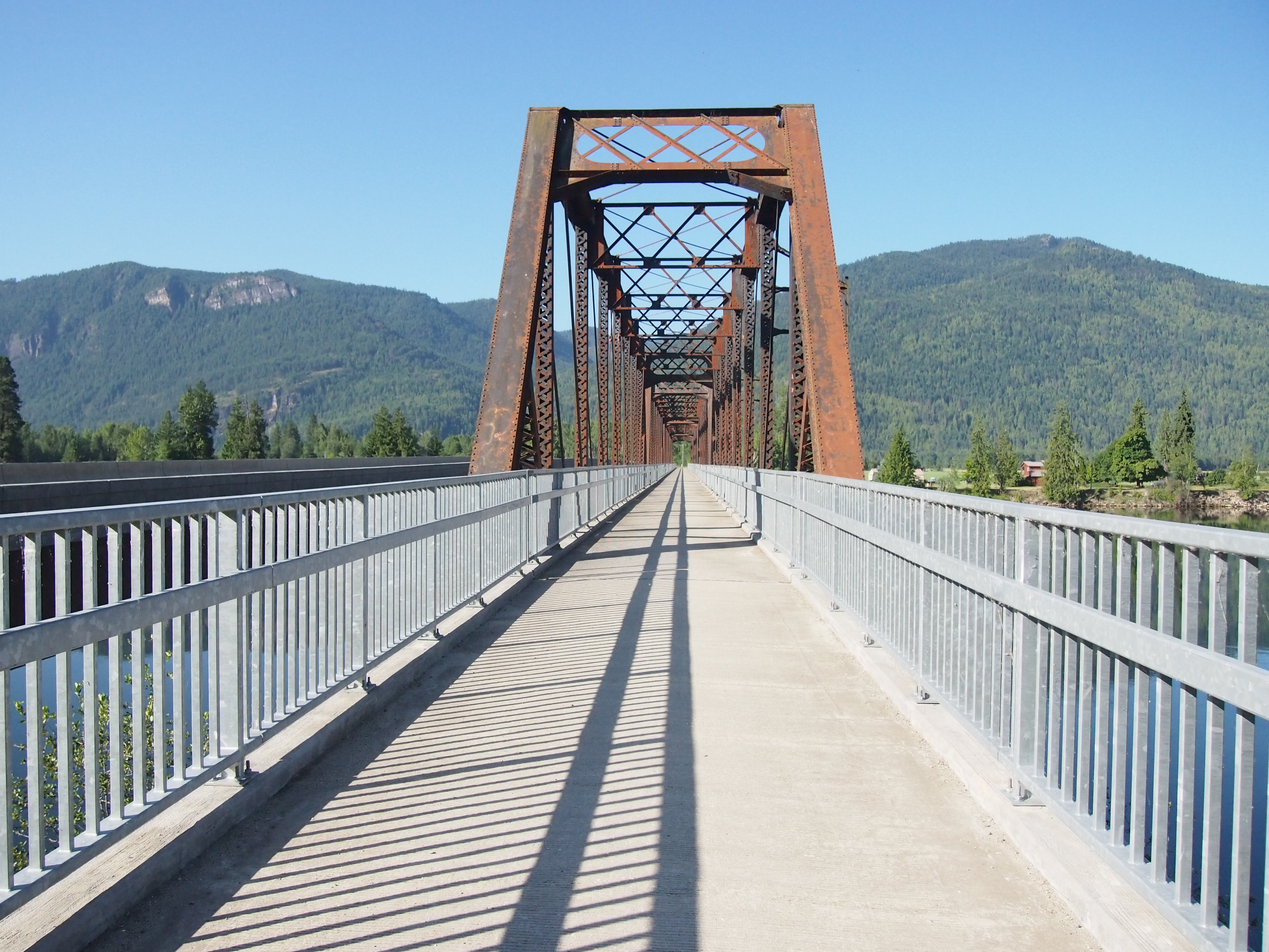
The shoulder in this picture is a bit of an aberration. More often they looked like the one in the picture below.

The last four miles into Whitefish were on absolutely terrible road conditions. No shoulder, horrible pavement conditions, steep rolling hills, and tons of traffic hurtling around sharp corners. Miserable. But we hear those are the worst four miles on the entire Northern Tier route, so we’re grateful to have seen the worst!

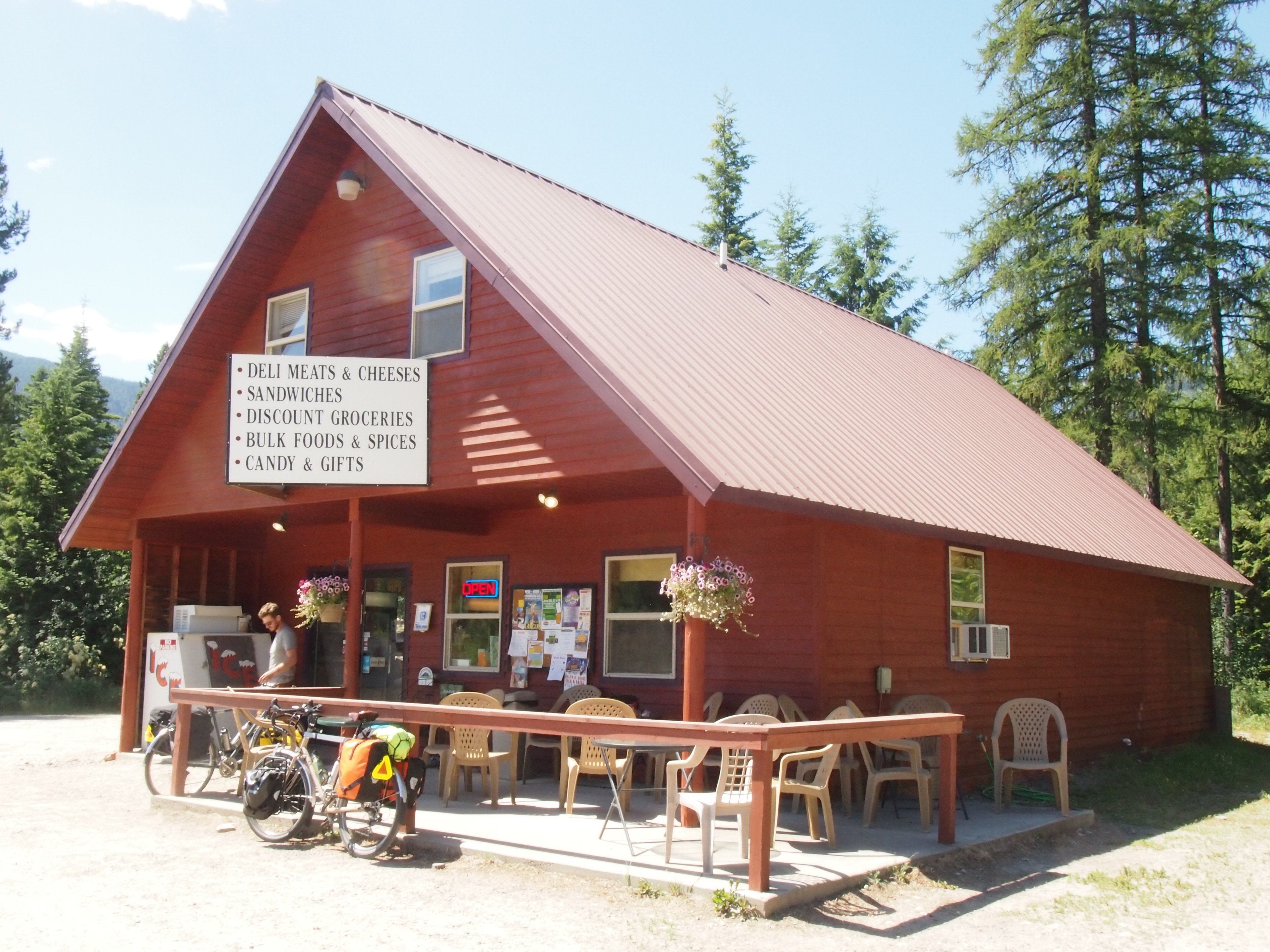
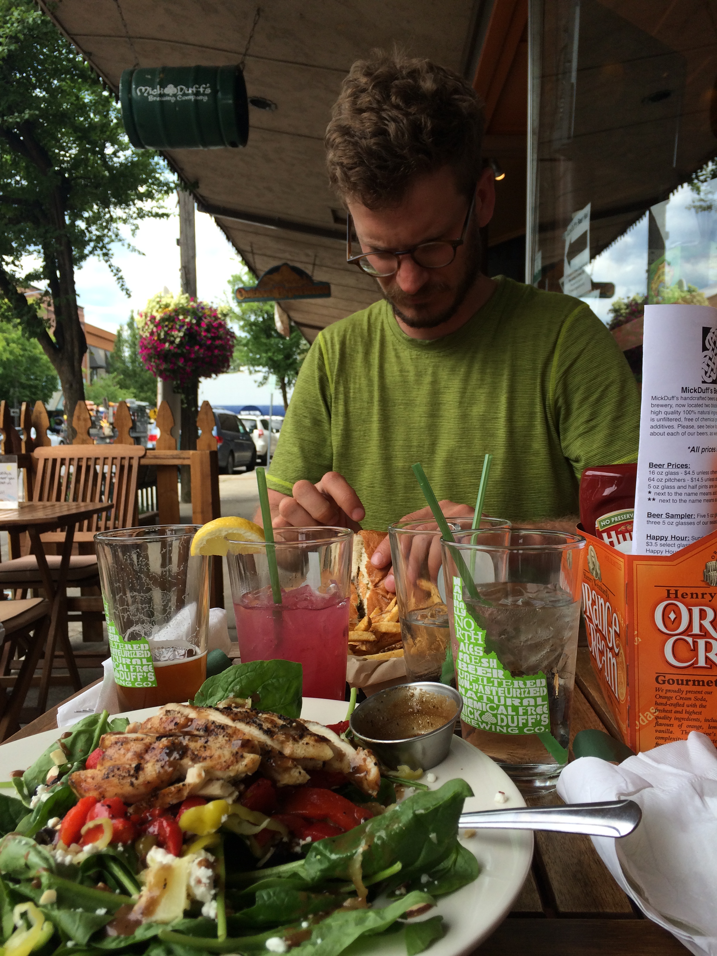
We made it into Whitefish a little after noon, and made a quick trip to the post office to mail some more stuff home (a lot of it was our cold weather gear that we brought along for Glacier; remember that record heat wave we were talking about?), and then went searching for a place that had both WiFi and smoothies. We found a little café that had both, but the smoothies were much better than the WiFi. Then we headed to the bike shop to pick up some odds and ends. While there, we ran into Dan, Gina, and Clive and we all went out for lunch at an Italian eatery next door, where I gorged myself on a giant calzone. The best part about riding 60+ miles day after day is the enormous amount of food we get to eat. No calorie restrictions on tour!
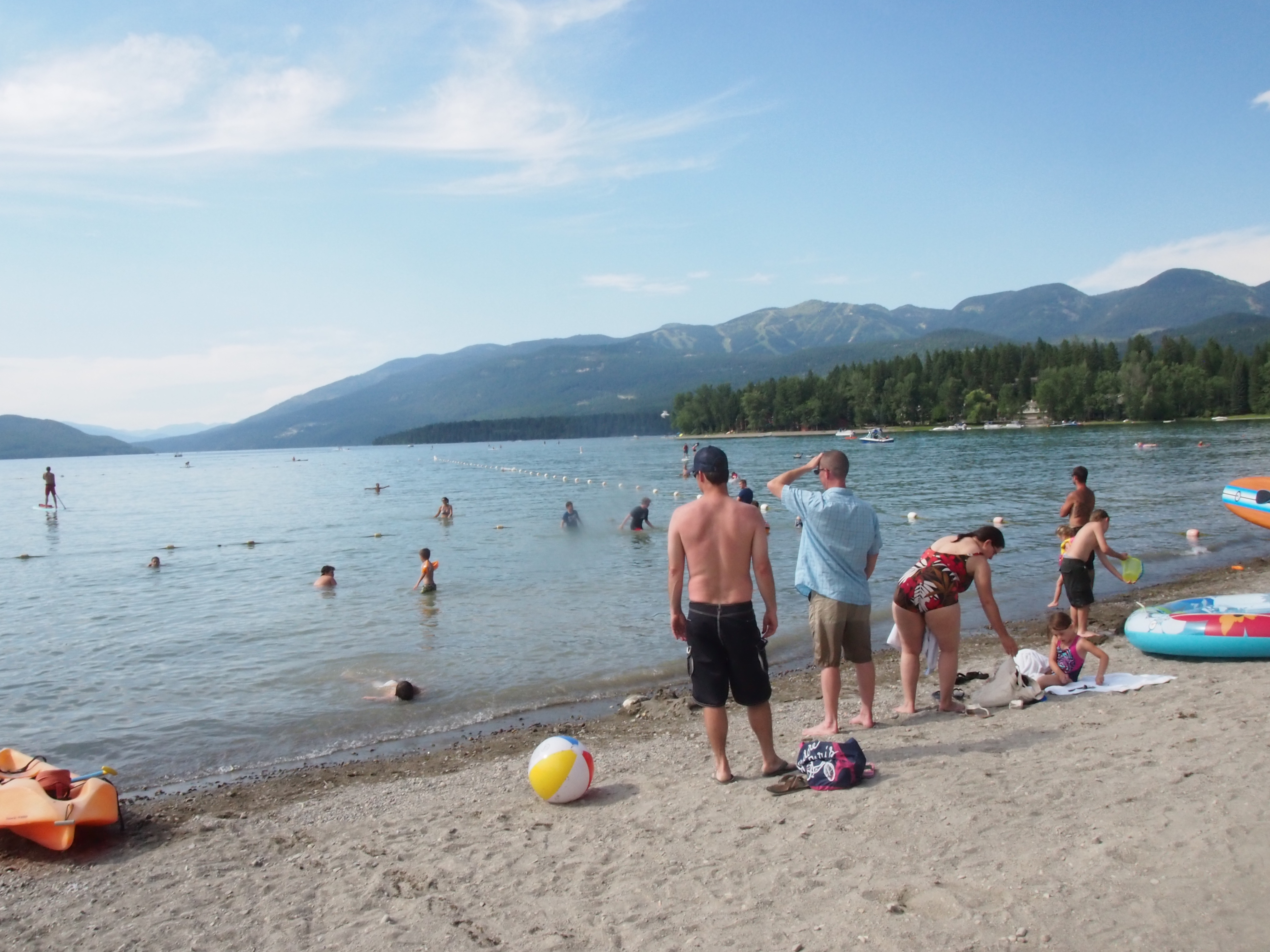
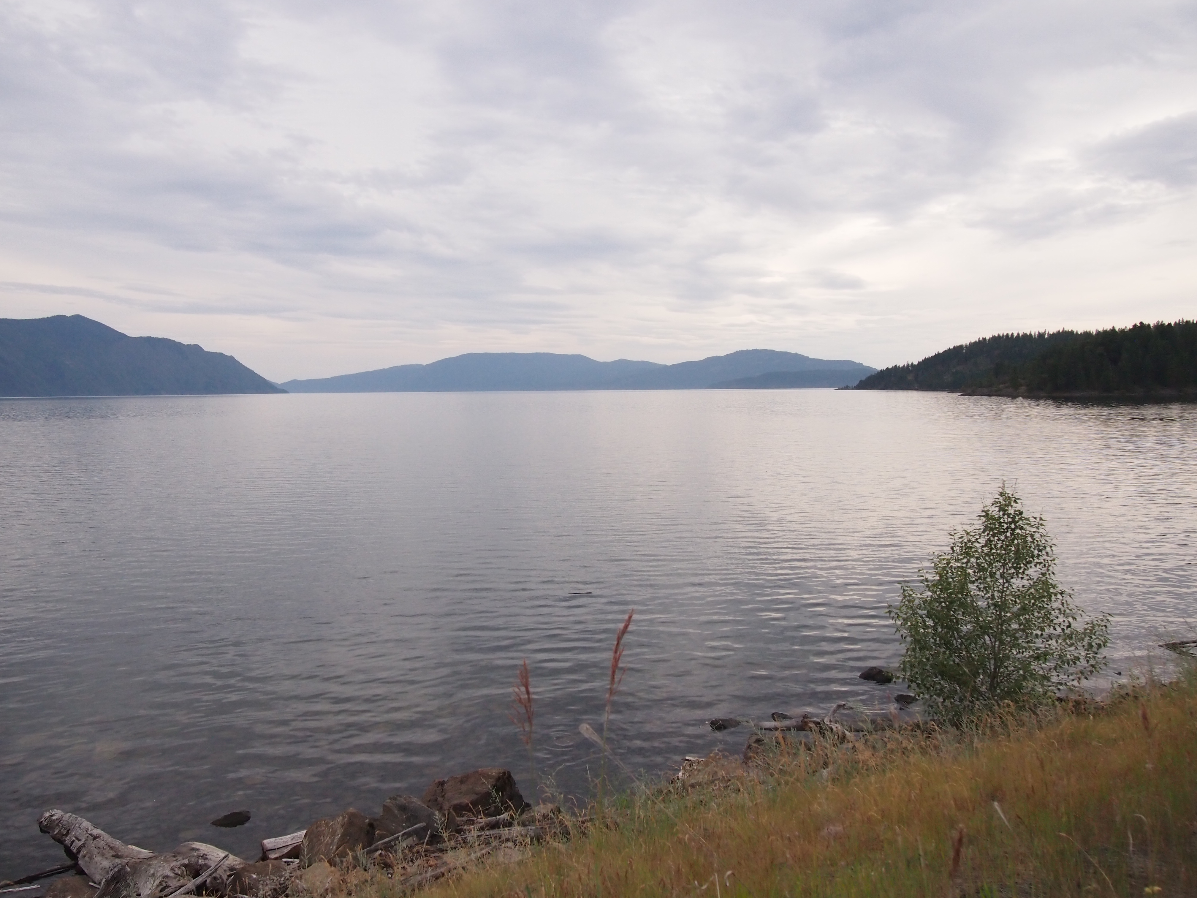
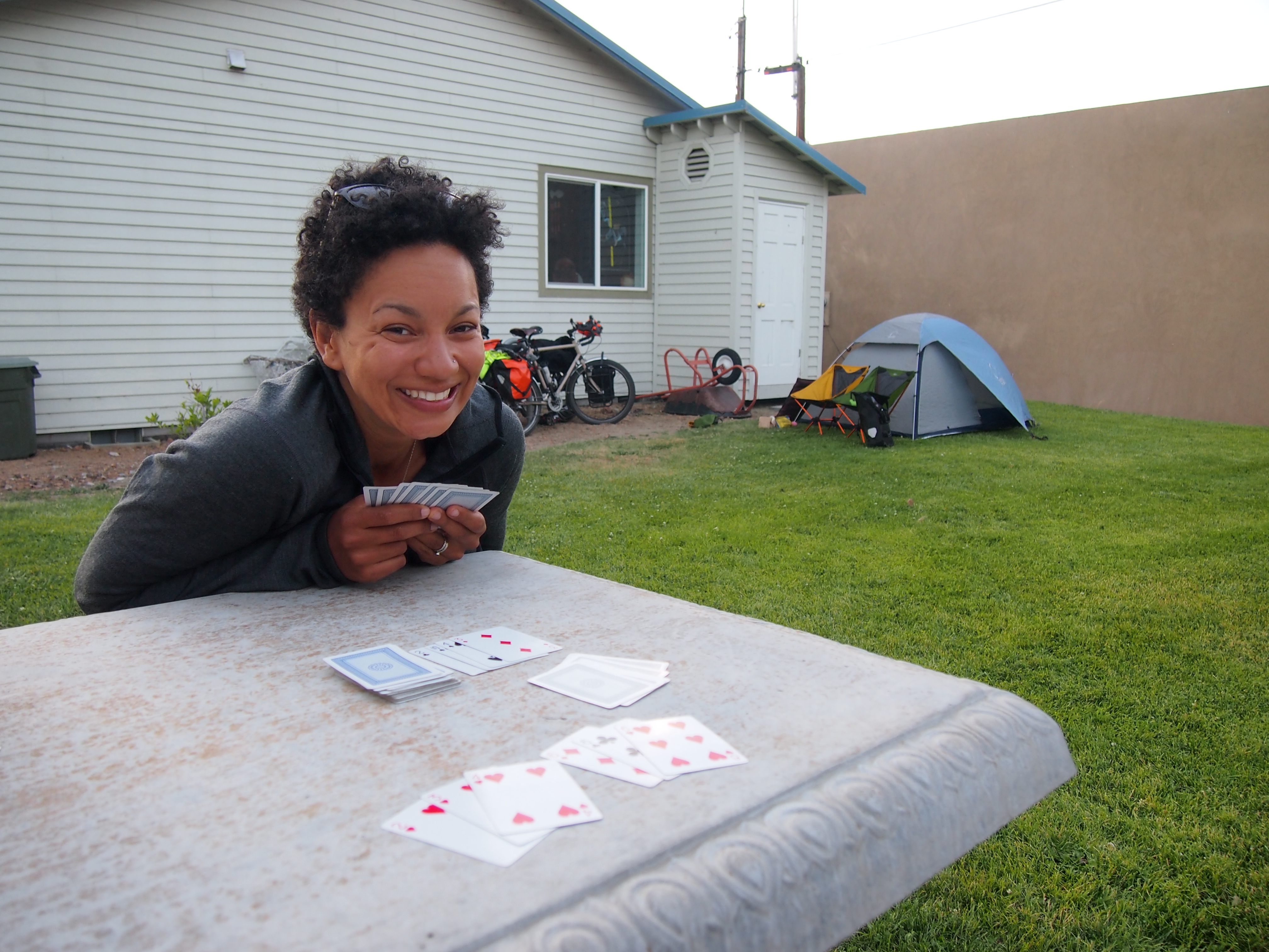
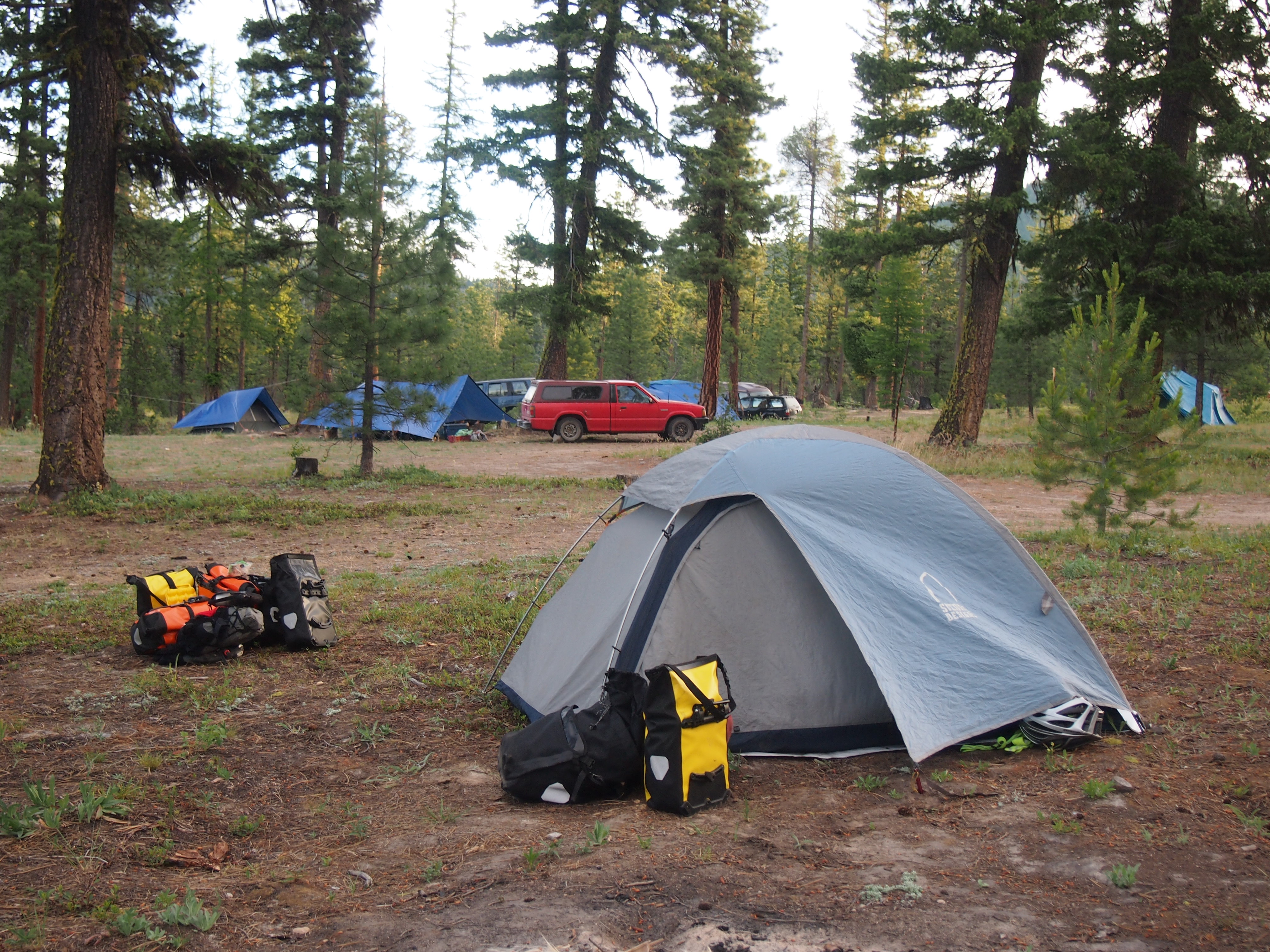
Afterwards, we went up to Lake Whitefish and took a quick dip to cool ourselves off (heat wave). Then we pedaled to our camping place for the night, The Montana Bike Hostel and Campground. This is a side business run by a couple of folks that live almost on the way (but not quite) between Whitefish and Columbia Falls (the next town over), but a couple miles down a gravel road. We chose to camp here because we’ve had great luck with cyclist-focused lodging so far, but this was a letdown. It is run as a business that seeks to take advantage of the cycling culture around Whitefish and Glacier National Park. It exists to make money. The other places we’ve been staying have been run more for the love of cycling and helping bike tourists along their journey, without really seeking to make a huge profit.

Beautiful! But out of the way and pricey!! And notice the locked door on the hostel. They came out to lock it up after we had the audacity to go in and look around.
I guess we had no reason to expect that everyone is just going to be kind, but if we had to do it again, we’d stay at one of the other campgrounds closer to town and not come out of the way to pay the most we’ve had to pay for camping so far to pitch a tent in a guy’s yard and get lectured (citing half-truths and some outright lies) about how fair the price was and how untrustworthy and cheap cycle tourists can be.
There was also a little misunderstanding about the shower situation. When I talked to the owners on the phone, the man mentioned that there was an outdoor shower that we were free to use. When we showed up, the hosts were nowhere to be found (and didn’t answer our knocks on the door or rings of the doorbell), so we started to get set up. We pitched our tent and saw a small structure across from the bike bunk house (which we couldn’t afford) with the word “shower” across the top. “Oh,” we thought, “that’s the outdoor shower.” So we turned on the water and I jumped in the shower.
The hosts came out and started to talk to Dani as I was getting out of the shower. The first thing they told her was that we were not permitted to enter the bunkhouse (which had electricity, a cooktop, and a weak wifi signal), because those luxuries were only for people paying to stay there. Then, when we tried to pay the exorbitant camping fee, the host said, “And also $5 for the shower.”
What?!
First off, $5 for a cold shower is really steep. Secondly, he had told us that the outdoor shower was free. But, as was quickly explained to us, the shower I took was in a shack. So it wasn’t outdoors. The “outdoor shower” he was referring to was hanging the hose from a tree in their yard and letting us stand under it.
But, as Dani said, just because an outhouse has walls and a roof doesn’t mean it’s an indoor bathroom.
Anyways, this only seems like a bad experience because we’ve encountered so many selfless, generous people who have gone out of their way to be kind to us. This serves as a reminder to us to be grateful for every kindness and not take anything for granted.
Tomorrow’s another early day! We have to make it 36 miles to our campground in Glacier before 11:00a. They close parts of Going to the Sun road to cyclists from 11:00a-4:00p, so if we don’t make it in time we’ll have a long journey ahead of us on Monday!


![]](https://panniersandgrannygears.com/wp-content/uploads/2015/06/p1013322.jpg)