Day 6: The day without climbing a pass

Day 6, Loup Loup Pass to Tonasket: 52.1 miles, 1,656 ft. elevation gain, 13.9mph average speed.
Trip Totals: 329.8 miles (54.9 daily average), 20,549 ft. elevation gain, 10.81 mph overall average.

Map and stats here.

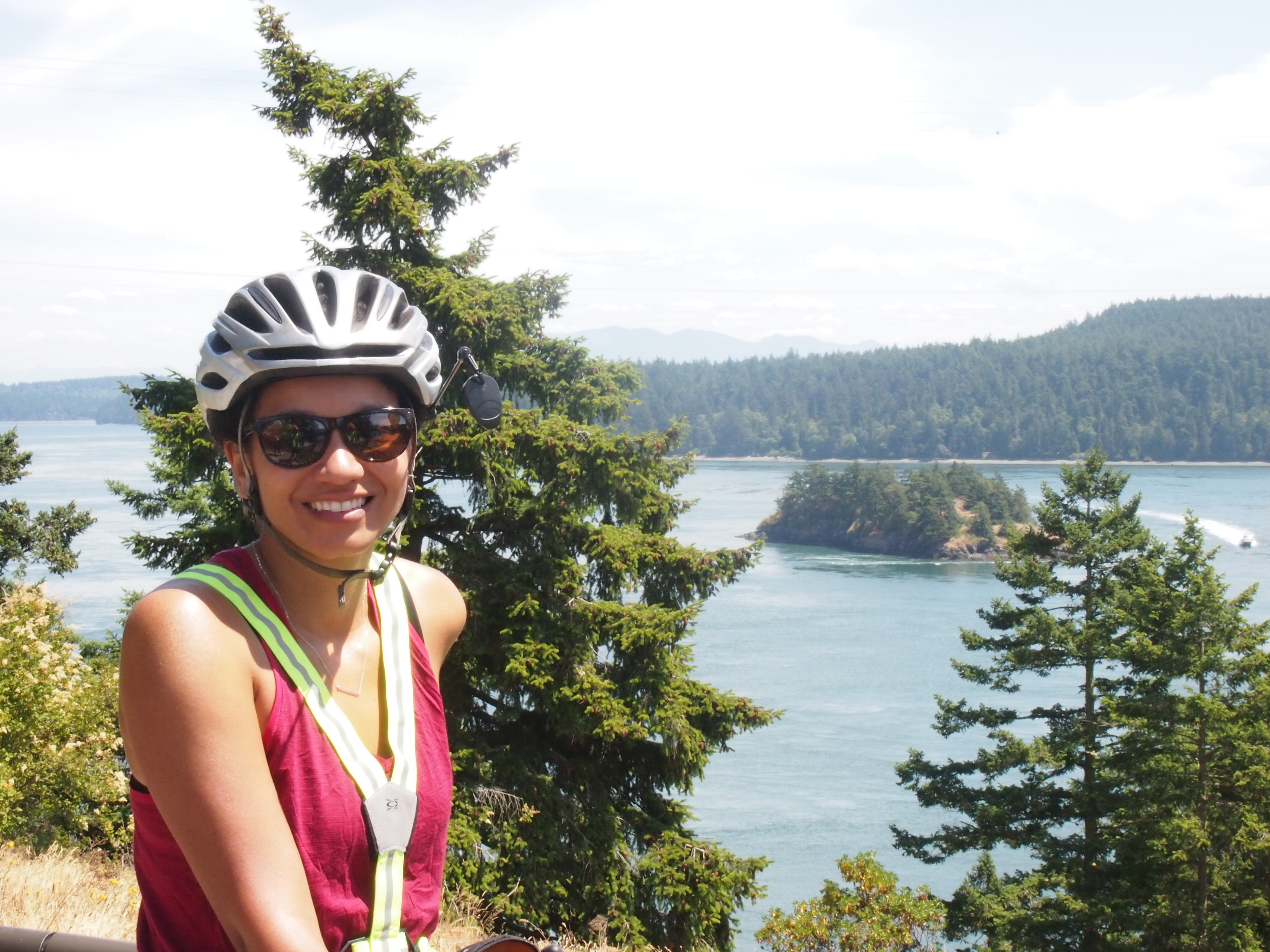
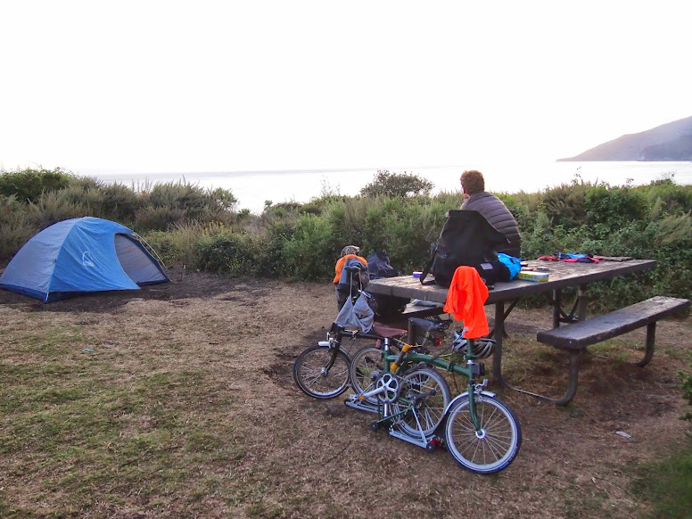
I never did get comfortable with our sleeping arrangement last night, so I woke up this morning at 5:00a wanting to get on the road as soon as possible. Dani patiently explained to me that she didn’t think 5:00a was a reasonable start time, so I let her go back to sleep as I took down the bear bag and packed everything I could without taking down the tent with Dani still in it.

By this time it was 5:40a, which seemed reasonable enough for me to gently prod Dani awake yet again and express my desire to get on the road. She, as tolerant as ever, allowed me to hassle her out of the tent and onto her bike.

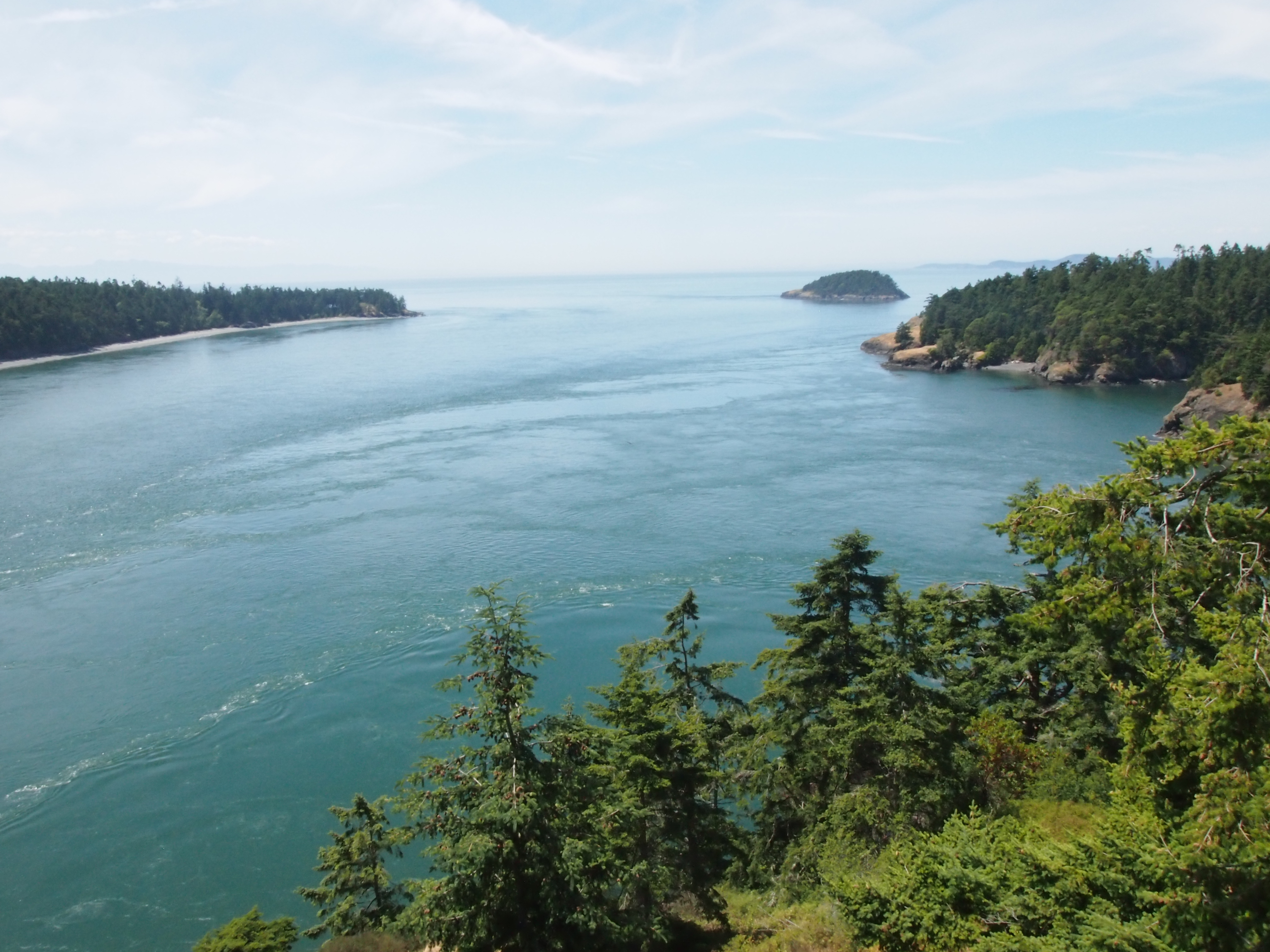
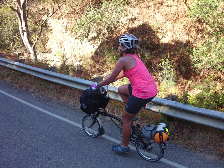
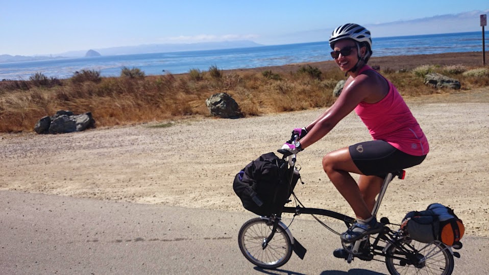
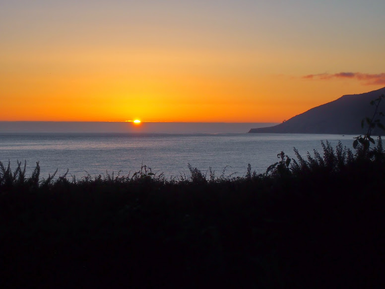
So we were on the road by 6:10 and we started the day by sailing down Loup Loup pass toward Okanogan. What a way to start the day. Aside from one short (and unfortunately steep) uphill, we covered the 18 miles to Okanogan with barely any effort. (Check out the elevation map in the above link. That’s a fun way to begin a ride!)

OLYMPUS DIGITAL CAMERA

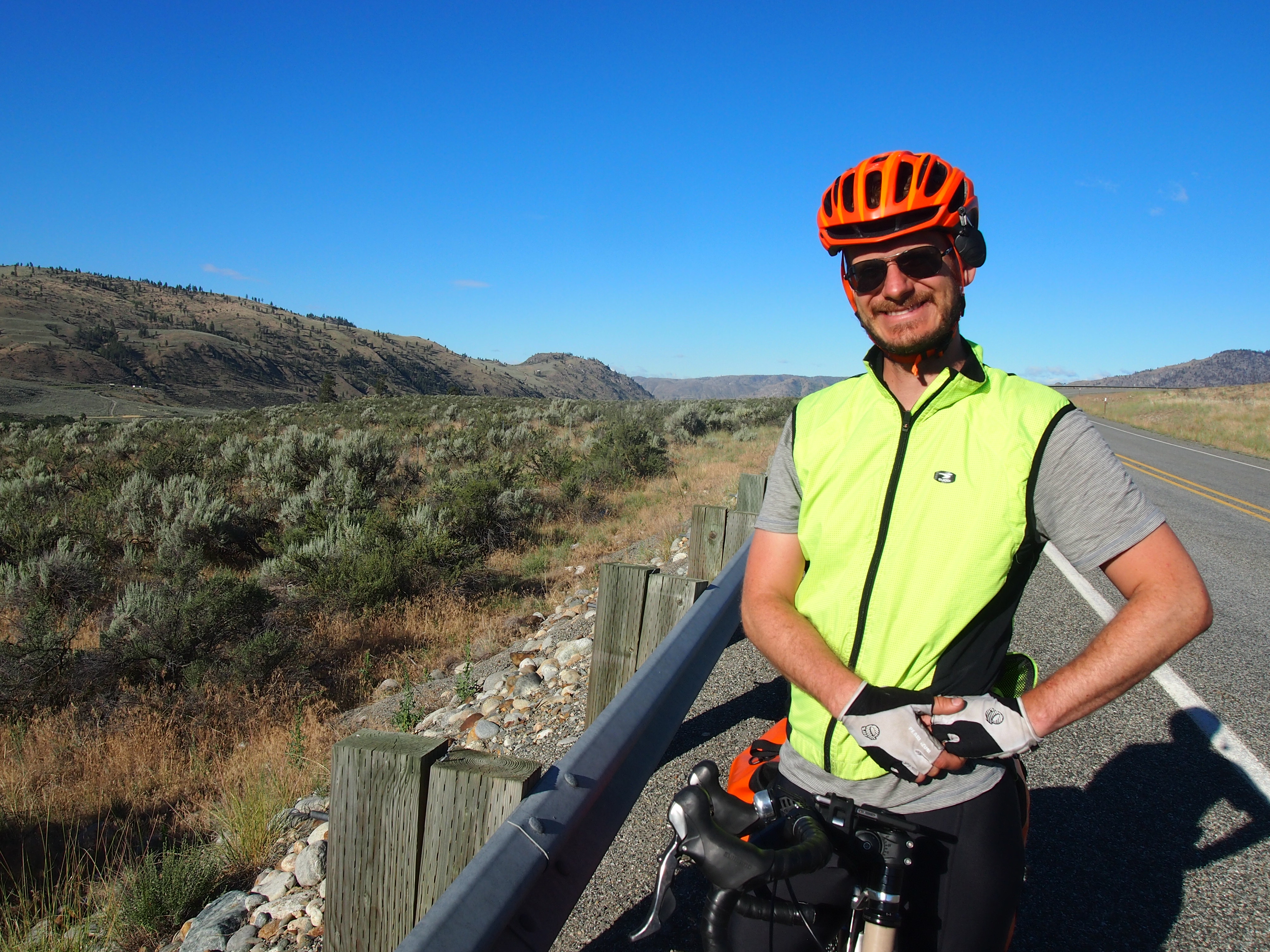
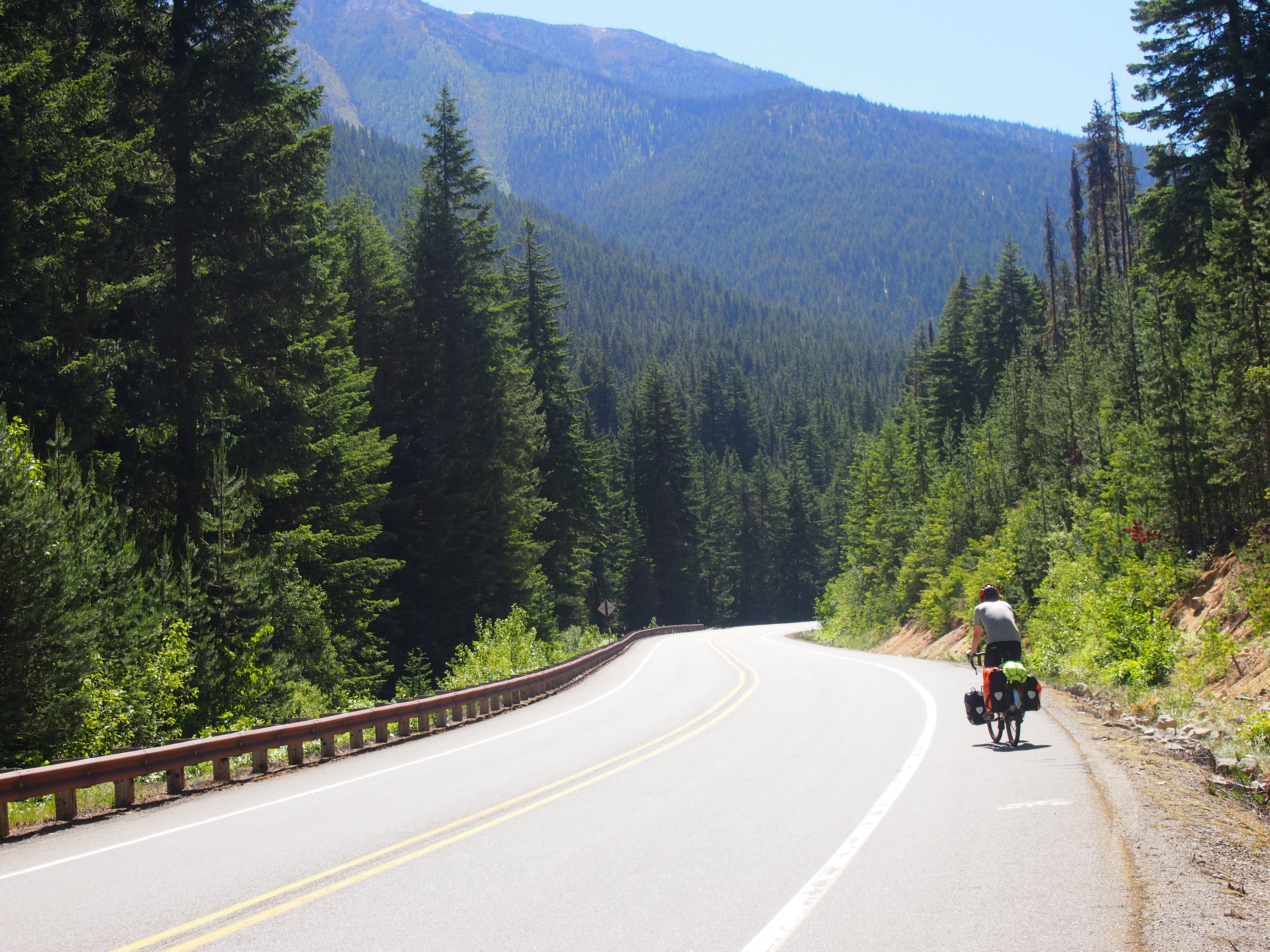
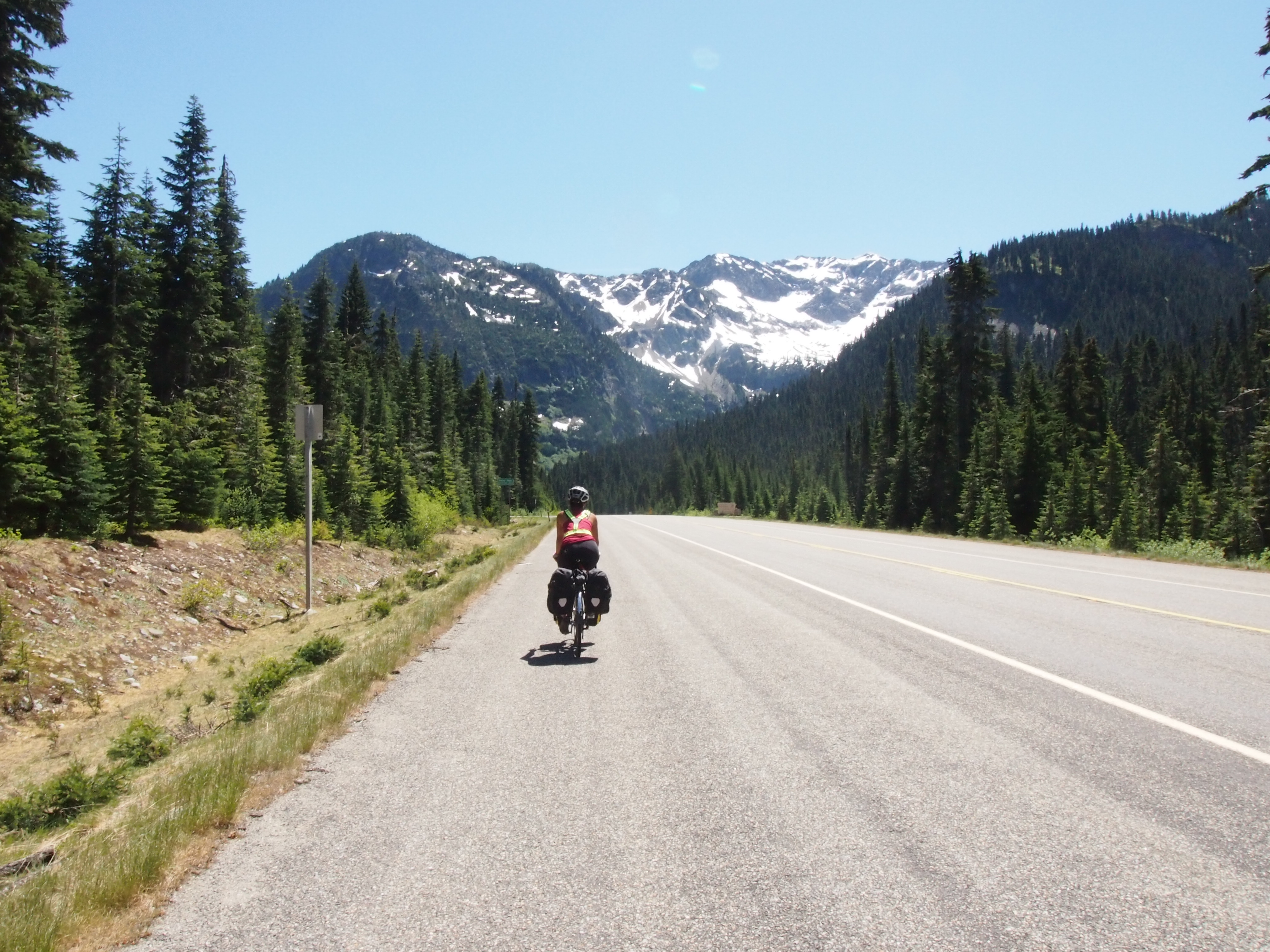
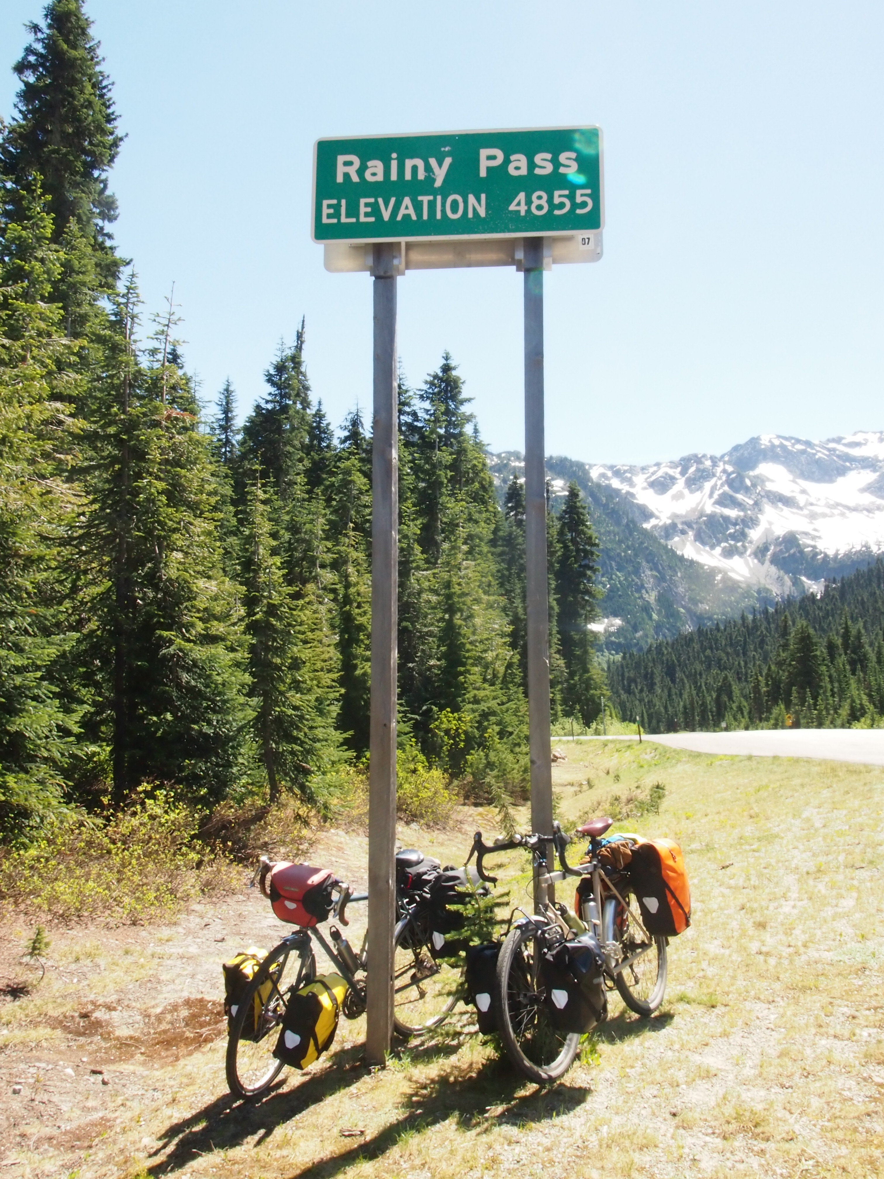
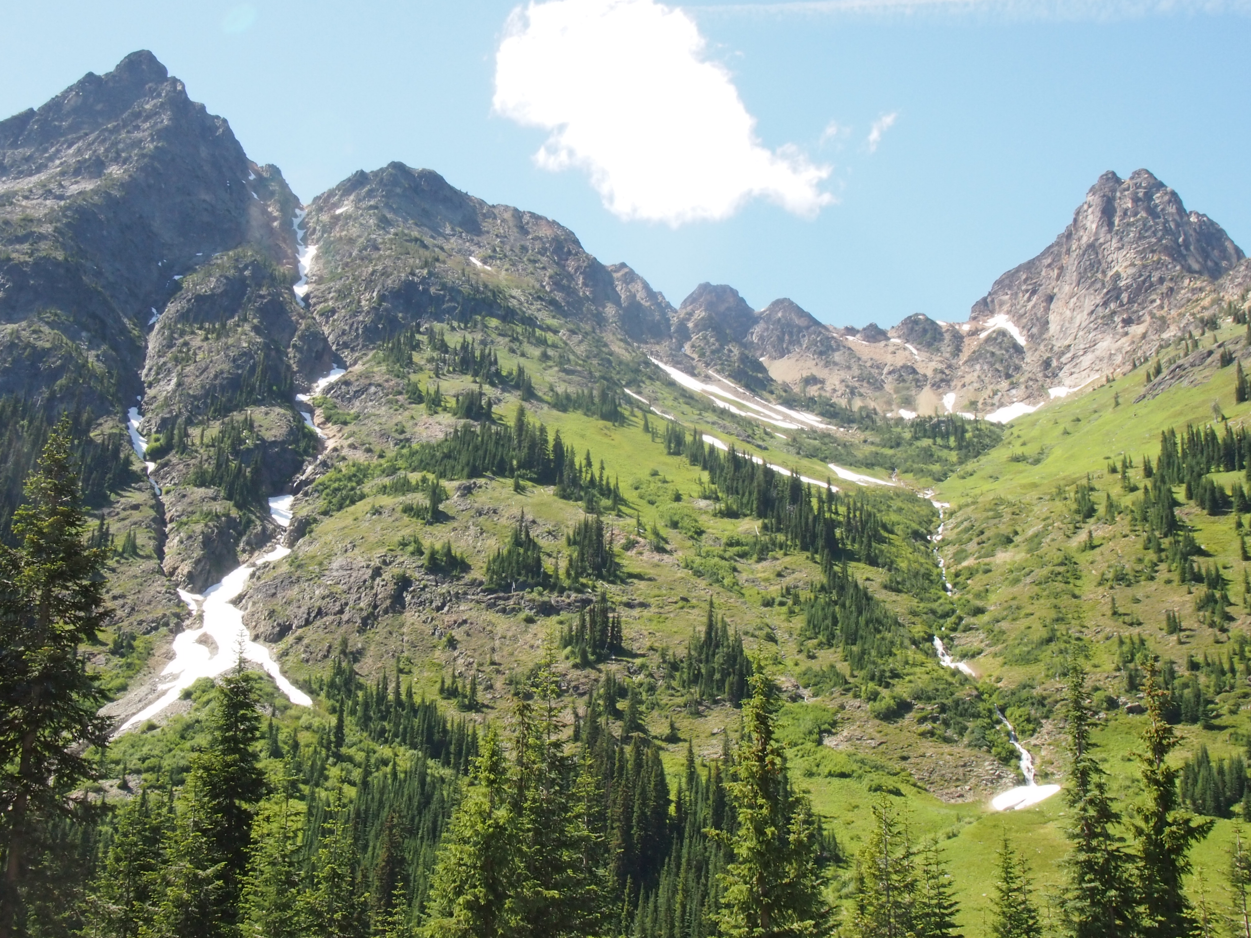
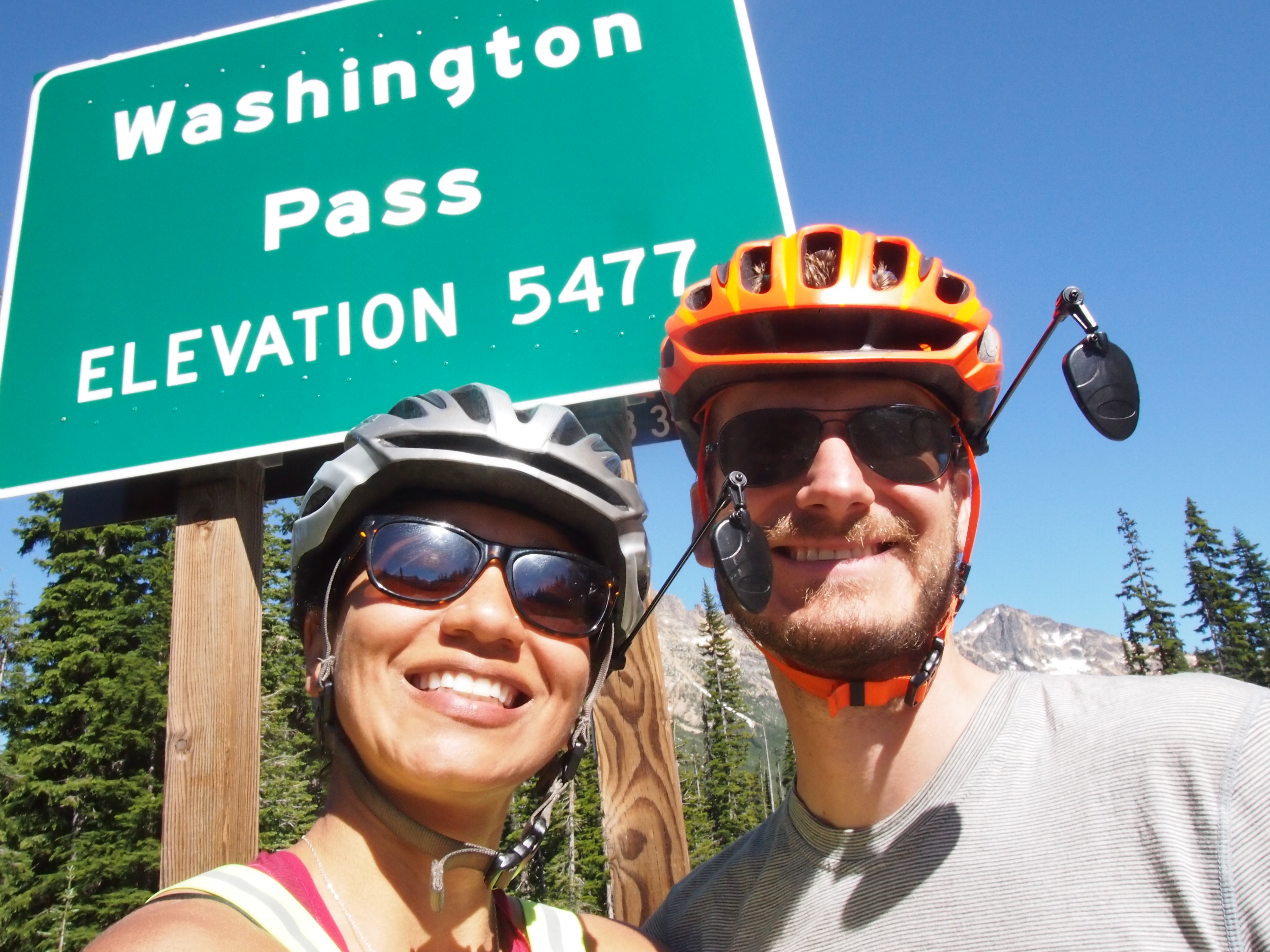
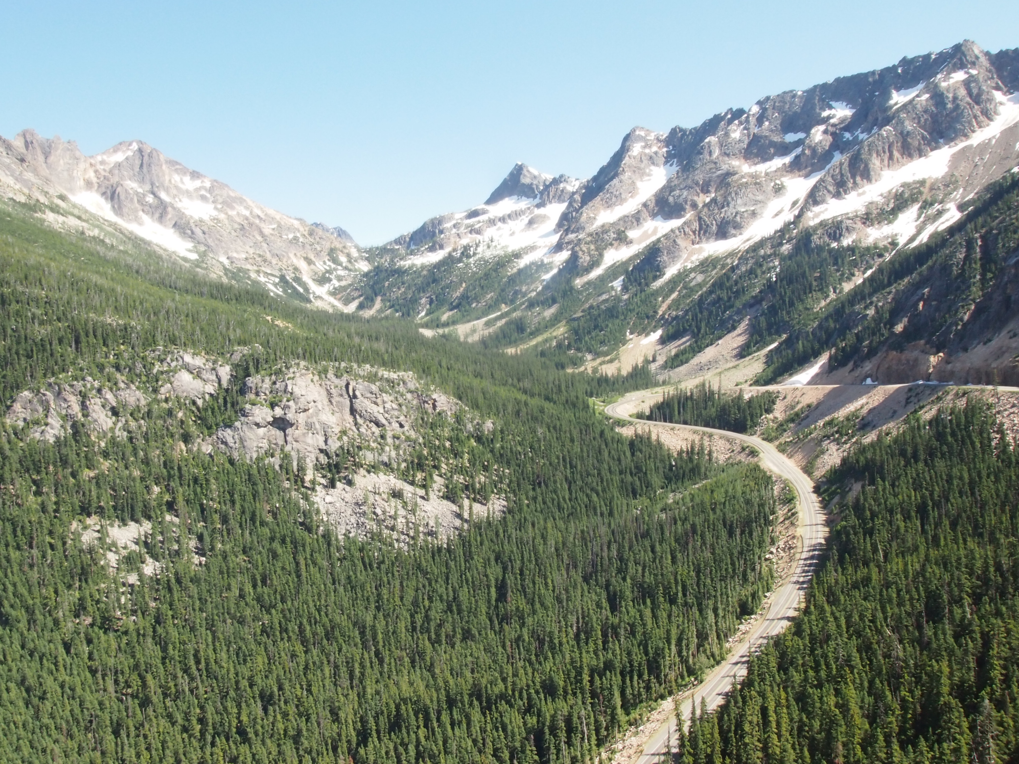
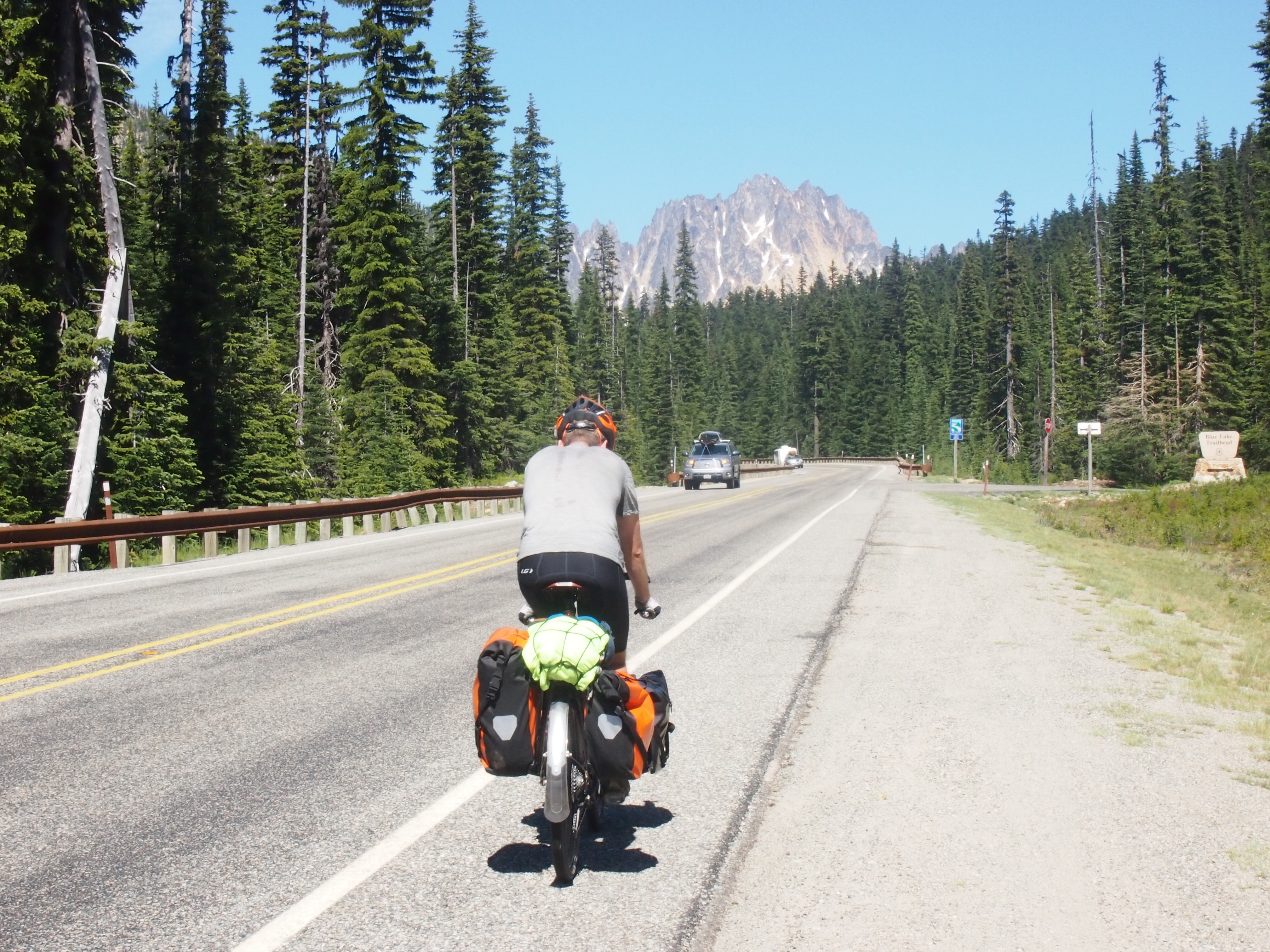
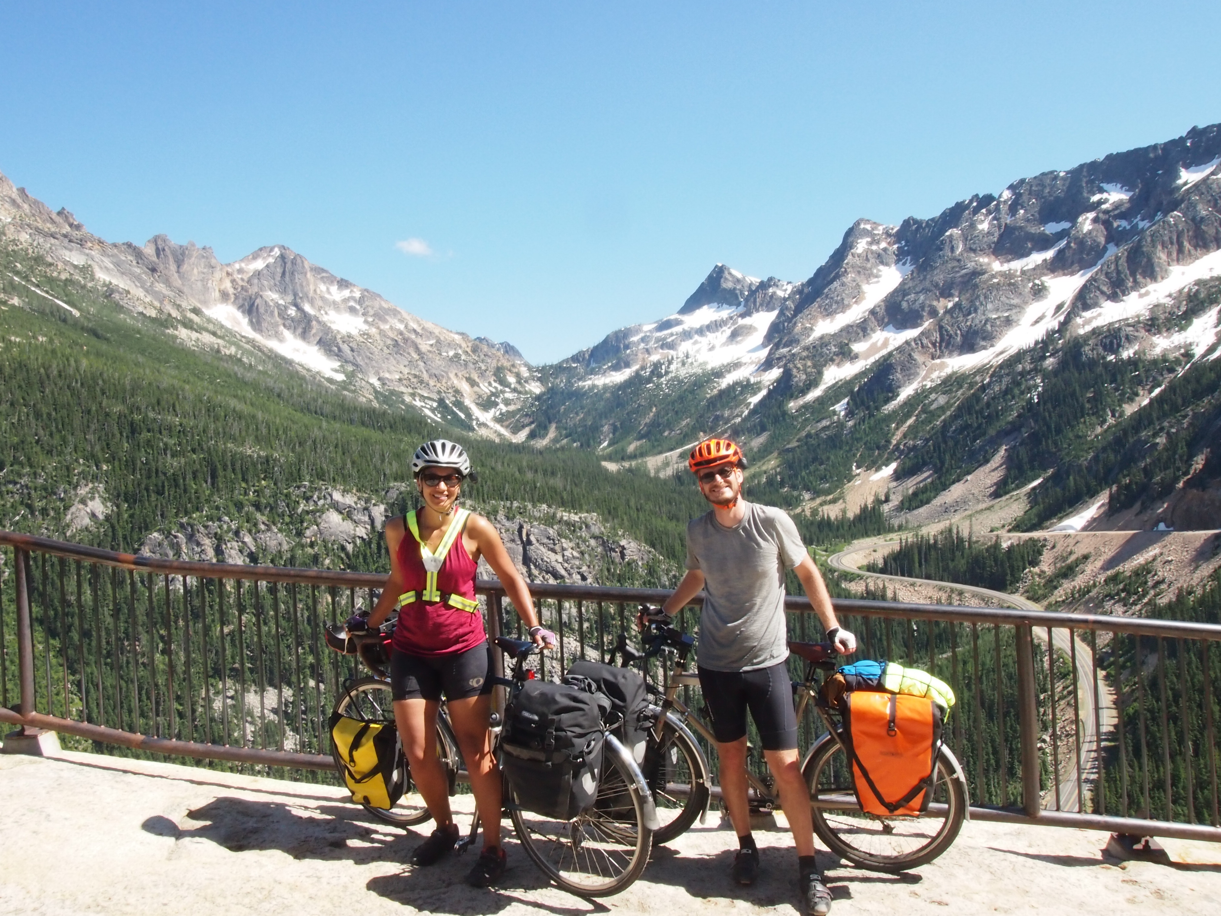
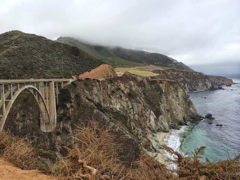
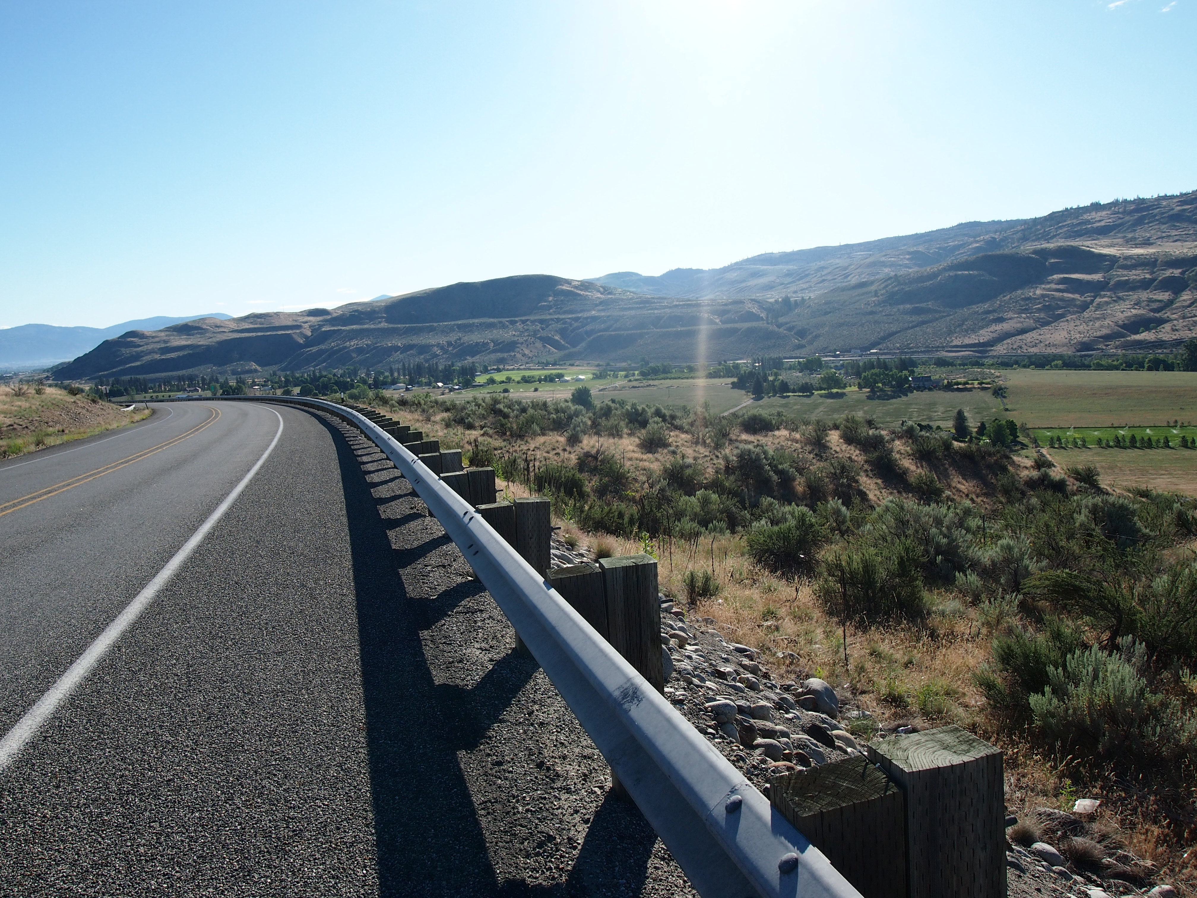
Ever since coming down from Washington Pass, the landscape has changed dramatically. We passed through the dense, lush forests of the west side of the mountains, and we are now moving into the high desert climate of Central and Eastern Washington. We’ve been riding through ranchland and farmland, where bright green patches of irragated fields jump out from the surrounding brown terrain. We also passed by thousands of acres of apple orchards, sometimes with hundreds of acres entirely covered in mesh netting to keep the birds away. And it has become exceptionally hot. The temperature over the last couple of days has been over 90 degrees. I really enjoyed riding through old-growth forests, but seeing the variety the country has to offer is one of the perks of this trip.

OLYMPUS DIGITAL CAMERA

One thing that I don’t miss about Western Washington is the mosquitoes. I was expecting there to be mosquitoes on this trip, but maybe not until we were passing through Minnesota in mid-July. They have been vicious. This morning, Dani had 11 separate bites in a handspan area on her leg. I’m hoping they become less prevalent as we move into a drier clime.

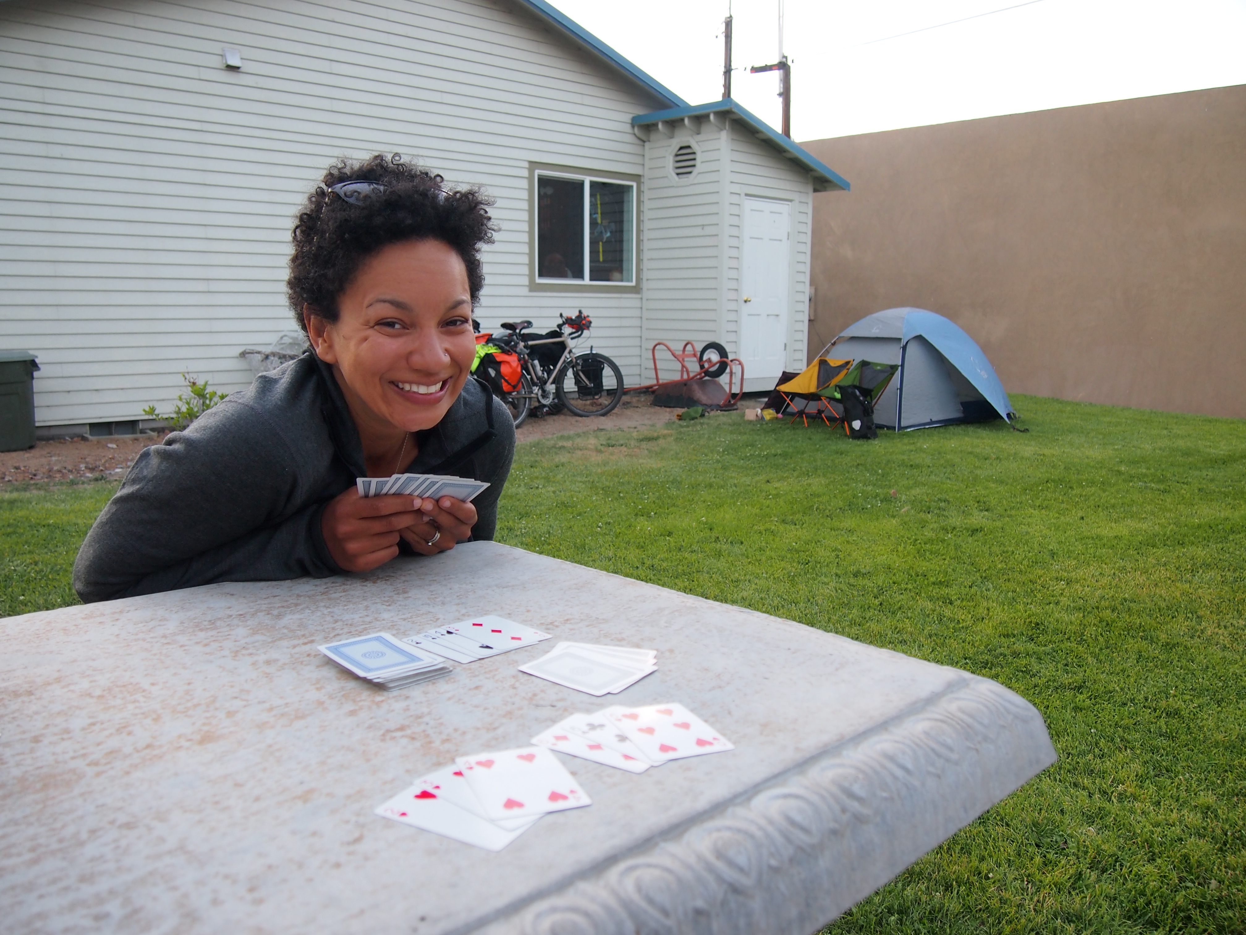
At Okanogan, we stopped to grab a cup of coffee to reinvigorate ourselves and use the coffee house’s wifi to plan our next couple of days. Our ride continued through the towns of Omak and Riverside, before ending in Tonasket. Since we got started so early, we arrived at Tonasket before 2:00p. We’re climbing a couple more passes over the next two days, so we’re happy to have a little shorter, more relaxing day today. Also, Tonasket offers free camping for cyclists behind their visitor center, which is about as far from last night’s camping experience as one can get, and that’s ok with me!

OLYMPUS DIGITAL CAMERA

Before settling down for the evening in our private backyard, we tooled around town for a bit, picking up some groceries and grabbing dinner at the delicious local pizza joint, where I proved once and for all how hard-headed I am by standing up and shattering the low hanging light fixture with my head, much to the delight of all of the other patrons. The story has a tragic ending though. There were still three pieces of pizza left, and we had to throw them away because we didn’t want to accidentally eat shattered light fixture for dinner.

We climb our penultimate pass in the Cascades tomorrow.  We’re both ready for some flatter rides!


Day 4: The day of the granny gear

Day 4, Colonial Creek Campground to Barn Bicycle Campground (near Winthrop): 58.9 miles, 6,160 ft. elevation gain, 9 mph average speed
Trip totals: 250 miles (62.5 average distance), 15,572 ft. elevation gain, 10.63 mph overall average speed

Map and stats Part 1 (uphill) and Part 2 (downhill).

Remember that post a little bit ago explaining the granny gear? Today was our forth day riding, and for the first 32 miles (spread out over 7 hours) it was the day of the granny gear. Our first (and second biggest after the continental divide in Glacier National Park) climb of the trip and it was a doozy. We took care of the first eight miles/1,000+ feet of climbing at the end of yesterday, but the real climbing started today.

Our first stop, 1.7 miles into 34 miles of climbing.

Our first stop at Diablo Lake, 1.7 miles into 34 miles of climbing.

We started off from our lovely campsite at Colonial Creek Campground in North Cascades National Park. And then we climbed. And climbed. And climbed some more. There were a few short downhill interludes mixed in, but mostly we went up. 5,717 feet in 34 miles. It almost doesn’t sound like a lot when I read it back to myself, but it was steep. We lived in our granny gear throughout the morning and early afternoon. The scenery, again, was gorgeous, although I think we didn’t appreciate it as much as it deserved. We took lots of opportunities to stop and take pictures, though.

OLYMPUS DIGITAL CAMERA

OLYMPUS DIGITAL CAMERA

OLYMPUS DIGITAL CAMERA

OLYMPUS DIGITAL CAMERA

We made it to the top of Washington Pass (the second and final pass of the day) a little before 4:00p. And then the fun started. We cruised through 15 miles of downhill riding, the first six of which were quite steep. Dani thought it was a little scary and was thinking about all the things that could go wrong, but I had a blast. Our average speed over the first six miles was 29.8 mph, and I hit a top speed of 43.6mph. I can’t think of a better way to celebrate finishing a day of climbing than to shoot down a mountain at 35+mph on your bicycle.

OLYMPUS DIGITAL CAMERA

OLYMPUS DIGITAL CAMERA

OLYMPUS DIGITAL CAMERA

We stopped in Mazama for what is becoming our routine of binge eating unhealthy food in the late afternoon before we get to camp. Today we went with chocolate milk, a chocolate chip cookie ice cream sandwich, and a whoopee pie (aka, giant oreo cookie). All good decisions.

We’re staying at the Barn Bicycle campground tonight. A lovely man named Jim decided to open up the barn next to his house to touring cyclists. It is right on the route and offers a multitude of luxuries like electricity, a refrigerator with ice (and complimentary drinks), a solar-heated outdoor shower, a composting toilet, wifi, and soft grass on which we could set up our tent. And most importantly of all, the “campsite host,” an Australian Shepard named Stout who helped fill the dog-shaped hole in my heart (left by our dog, who is waiting for us to come back home to Brooklyn) for the evening.

All in all, it was a great end to a hard day. We’re taking it easy on day five, traveling 20 or so miles and enjoying some of the conveniences in the towns of Winthrop and Twisp.

OLYMPUS DIGITAL CAMERA

Random thoughts for the day:

(Dani) I wanted to mention that I took an inglorious fall into a ditch on Monday, apropos of nothing but my fascination with my fancy new rearview mirror. Today I ran into a guardrail (at an embarrassingly low speed, so no harm) after panicking about a pickup truck towing a massive RV that passed within a foot of my bike, despite the fact that there was no incoming traffic and he could have easily and safely gotten over a couple feet. The slightest turn of the handlebars with heavy bikes at low speeds causes a dramatic turn, so these climbs call for lots of balance and coordination that I seem to lose in moments of panic. Side note: if you or someone you know drives a massive vehicle, or any vehicle for that matter, tell them to give cyclists a little space. If there is oncoming traffic, it’s not that hard to slow down for a moment to avoid the other option of speeding past a cyclist at a close distance. It may take three seconds out of your day, but you could save someone’s life! Other than those two incidents, I’m getting the hang of biking around with 50 pounds of stuff.

(Ted) I think one of my favorite things about bike touring is that it really helps you focus on enjoying the journey rather than always focusing on the destination. When you’re on your bike, it’s ok to stop on a whim to take a picture, eat a snack, or even just sit around for a while. When I’m driving, I always feel a guilty for stopping unless I need gas because it’s inefficient. But biking across the country is inefficient by definition, so it’s not a problem. And when you’re riding uphill for miles and miles, any reason to stop is a good reason. My favorite stop of the day today was Dani deciding that it was just too darn hot and pulling off the road a couple miles before Washington Pass to dunk herself in a snowmelt waterfall coursing down the side of the mountain. The ice-cold water was perfect for a hot day of riding, and how often in life do you have the opportunity to just jump into a waterfall in the middle of the day?

Day 2: A Day of Aches and Pains

I opened my eyes to a brilliant morning: sunlight filtering through the trees, birds singing joyfully, and Dani sleeping the deep sleep of the bike tourist.

My first thought was, “Holy moly! My bladder is full to bursting!” My second thought was, “Did my alarm (set for 6:00a) not go off? It’s so bright. We’ve gotta get started so we don’t miss our ferry!”

First things first: I stumbled out of the tent and sorted out that full bladder. Getting back in the tent, I debated whether to wake up Dani or let her sleep a while longer while I started breakfast. I checked the time on my phone to see if I could let her sleep more without risking missing the ferry.

It was 4:27a. Yep. Turns out we’re quite a bit further north than I’m used to and also coming up on the summer solstice. Lots and lots of daylight.

Anyway, since the ferry didn’t leave until 8:00a, I figured Dani could sleep a little longer.

Aside: A quick note about point of view.

We’re writing this blog together, and we’re still experimenting with the point of view we want to use. It’s strange to use first person when there are two people speaking, but it’s also strange to write about individual thoughts and feelings when writing in third person. We’ll figure it out; bear with us.

Dani looking sharp with her visibility vest and helmet mirror.

Dani looking sharp with her visibility vest and helmet mirror. Safety trumps fashion on a bike tour!

Day 2, Port Townsend to Sedro-Woolley: 67.0 miles, 2,754 ft. elevation gain, 11.9 mph average speed.
Trip: 118.8 miles (59.4 daily average), 5,908 ft. elevation gain, 11.15 overall average speed.

Map and stats here.

Today was a day of several small aches and pains. Feet, butts, knees, hands, and necks all started to complain, “Hey now. We did this long-distance riding thing yesterday. We don’t do this two days in a row.” Thankfully there are no serious hurts. Hopefully our bodies quickly get used to this new lifestyle.

We left the campground at Fort Worden State Park around 7:20a and made it to the ferry terminal in time for the 8:00a ferry. The 8:00a ferry that was canceled due to lower than normal tides. So we explored the Fort Townsend city center for a bit. It is an adorable town, but not much is going on at 7:45a on a Monday.

The next ferry left at 8:45a, and it was about a 30-minute trip to Coupeville. We met a man named Lou on this trip, a 55-year-old Air Force veteran who retired at the age of 50 and from what we gather, has spent his retirement taking amazing trips like hiking the PCT and now, riding our exact same route as us (including the Great Lakes alternate route), except he’s going all the way to Maine. He’s riding a recumbent bike (a bike that looks like a mesh lounge chair on wheels that can apparently reach 60 mph downhill, but struggles with uphill climbs) and when we saw him roll down State Road 20 after the ferry ride, our feet, butts, knees, hands, and necks all yelled at us for not making a smarter bike choice. He looked like he may as well have been sipping Piña Coladas and reading a book at the beach. Sigh.

Anyway, after disembarking the ferry we rode through a combination of farmland and coastal vacation properties for many miles. We stayed on side roads as much as possible, but spent a large chunk of the day on terrible State Road 20, which was heavily trafficked and often did not have a shoulder. This exacerbated our neck and shoulder problems because we tensed up every time a vehicle passed us going 60 mph about 2 feet from our bikes, which happened about 50 percent of the time today. Yesterday, we added tiny rearview mirrors to our helmets. These were great because we could see when the large trucks and rented RVs were about to pass us, but they were also awful, because we could see when the large trucks and rented RVs were about to pass us.

After passing through a couple of town-like areas that were cute, but not particularly notable, we came to the highlight of the day: Deception Pass. For a pass, the climb to the top wasn’t too bad. We didn’t even mind the roadwork on the way. What was a little frustrating was the giant roadwork signs that occupied the entire shoulder, forcing us into the highway traffic lane.

Anyways. Deception Pass. It is a two-span bridge connecting Whidbey and Fildalgo Islands. It has amazing views of mountains and turquoise water. We don’t know how to better describe it, so hopefully our pictures can do it justice.

OLYMPUS DIGITAL CAMERA OLYMPUS DIGITAL CAMERA

The other most notable aspect of our day was that we made the big right turn to start riding east. We are now officially on the Adventure Cycling Association Northern Tier Route and heading toward home!

Doing the laundry and writing a blog post at Riverfront Campground in Sedro-Woolley.

Doing the laundry and writing a blog post at Riverfront Campground in Sedro-Woolley.

Food Diary :

(note: Dani is posting pictures of some of our meals to the PanniersandGrannyGears Instagram account, which appears in the right sidebar)

Breakfast: Farm fresh cheesy scrambled eggs with onions. Yum! Those fresh eggs taste amazing!

Lunch: Peanut butter and (blackberry pomegranate) jelly sandwiches, apple, almond/cashew nut mix.

Dinner: Don’t judge us. Popeye’s Louisiana Chicken. As we rode through Burlington, WA, we were tired, sore, and hungry. We saw a Popeye’s on the side of the rode on our way to a bike shop, and it was inevitable. We both independently decided to go there for dinner, just like Leibniz and Newton inventing calculus.

Tips and Tricks: Packing your bike for shipping

Let me start by saying that I don’t intend for this post to provide comprehensive instructions for how to pack a bicycle for shipping. The internet abounds with videos that serve that purpose and that were created by people more competent than I. Instead, this post is meant to show a few pictures of what ended up consuming most of a Sunday and to share a few tips that I didn’t find elsewhere (although I’m certain I’m not the first to think of them).

DSC_0463

Tip #1: Do it yourself. There’s a lot to be said for the convenience of putting someone else in charge of disassembling, packing, and shipping your bikes before your tour. But that convenience comes at a cost.  I’ve talked to bike shops that charge anywhere from $40 to $100 to pack a bike, and that excludes shipping. That’s a lot of money that could otherwise be spent splurging on a nice meal or a motel on a rainy night on our tour. Toss in the sense of accomplishment and self-sufficiency and some other lovely intangibles, and doing it yourself is definitely worth it.

Tip #2: Get a box from a bike shop.  You can buy brand new cardboard bike boxes from shipping stores and bike shops from $10 to $25. Or you could walk into a bike shop and say, “Hey! I’m going on a bike tour and I need to ship my bike. Do you have any empty bike boxes that I could have?” Generally they do and generally they’re excited for your trip and happy to help. (Aside: if your bike shop tries to charge you for something that they’re going to throw away, not only should you not pay for the box, you should also find a new bike shop.)

Tip #3: Use www.shipbikes.com. I don’t know how they do it.  It doesn’t make sense. If I go to the FedEx website and enter my bike package details, I am quoted a price of roughly $155 (UPS and USPS give similar quotes).  When I go to ShipBikes (which uses FedEx) and enter the same information, the quoted price is roughly $60. It’s not a scam; you print out a FedEx label and drop your bike off at a FedEx location. But I have no idea how they’re making it work.

(Tangential) Tip #4: Bike stands are amazing. This isn’t strictly related to packing your bike for a tour, but it merits mentioning. I received a bike stand as a gift a year and a half ago, and it’s one of my favorite possessions. Suddenly, basic maintenance became a breeze and slightly more complicated maintenance (that includes the use of both hands, pedaling, or anything that is inconvenient on an upside-down bike) became much more feasible. I’ve learned tons about bike maintenance since I received the stand, which has saved me lots of money and also increased my confidence in my ability to perform on-the-road repairs on the tour. The stand folds up and lives in a small corner of our closet, so it’s worth the storage space (even in our 319 sq ft. apartment).

DSC_0468

Tip #5: Protect that pesky rear derailleur. If someone came up to me and said, “Ted, I’m going to give you a ton of money on the condition that you only use it for bike-related purchases,” I would a) do everything in my power to build an ongoing relationship with that person, and b) buy a Rolhoff Speedhub. The rear derailleur is one of the most critical aspects of a well-functioning bike, and it is also the most vulnerable to damage.  When we went on our honeymoon tour down the Oregon coast, the derailleur on my LHT was bent slightly inward during shipping. It wasn’t impossible or even difficult to ride, but the shifting was off just enough to make it incredibly frustrating.

I don’t want to deal with that again. When I packed up my bike, I removed the chain from the rear derailleur by taking out the bottom jockey wheel. Then I removed the derailleur from the frame (leaving the cable attached) and wrapped it in bubble wrap.  Then, in order to make it as safe as possible, I rested the wrapped derailleur on the drive-side chainstay before I zip tied the front wheel to the frame, which held it nicely in place between the two wheels (you can see the result in the image above).  Hopefully this minimizes the risk of damage during shipping.

Tip #6: Shortcuts can veer long. This goes in the “obvious observations” file. Bike boxes are designed to fit the bike in the smallest possible box to keep shipping costs down. Thus, it’s tough to fit your bike in the bike box with all of its cumbersome accessories attached to the frame. I know this. I knew this.  But I still tried to pack my bike without taking off my rear rack and rear fender. That was a bad decision that led to unnecessary stress and annoyance. Take all of your accessories off and pack them in after the bike is already in its box.

DSC_0469

I got so good at maneuvering the boxed bikes on top of a longboard that I almost regret not having more bikes to pack. Almost.

Tip #7: Do what you can, but it all comes down to hope. Once the bike was in its box, I stuffed the empty space with newspapers to pad the bike and minimize the amount the bike could move around inside the box. I also wrapped accessories (e.g., water bottle cages) and put them in the box with the bike. Then I taped signs to the both sides of the box imploring the FedEx people to please treat my bike nicely.  And it will probably be fine.  But there’s always the chance that my bike will end up on the bottom of a big heavy pile or that it will cross paths with a FedEx employee who is having a bad day.  I could have certainly packed my bike more carefully and I hope I don’t regret not taking every precaution. For now, I’m just hanging on to hope!

We’ll let you know whether these tactics worked when we pick up our bikes in a couple weeks!

Carmel to SLO Day 3 – San Simeon State Park to San Luis Obispo

Day 3 – 46.8 miles – 1,766 ft. elevation gain

The alarm went off this morning around 6:25, and we got out of bed pretty promptly. Dani said that she didn’t sleep particularly well (it was a little warm and very sticky after two days of biking without showers). We broke camp pretty quickly and headed out without breakfast because we knew the town of Cambria was less than three miles away. The town was off the highway and fairly cute. After consulting Yelp, we ended up at Creekside Gardens for breakfast. It was over 25% cheaper than breakfast the day before and I’d say twice as good. It’s amazing what a little competition can do. We sat out on the patio in back and charged our phones. The only downside to this place was that they weren’t providing tap water due to the drought.

After breakfast we climbed a hill (large for the day but small/medium for the trip ) and turned back onto Highway 1. The next 15 or 20 miles were pretty unremarkable, except for the lovely tailwind pushing us along. You don’t really notice a tailwind as you’re riding (aside from feeling like you’re really strong and fast), but Dani pointed out the extent to which the grass and trees were swaying in the wind and we were very happy that we weren’t riding north.

dani hill

At least there was shade on this hill.

over

Dani demonstrating her flawless no-look, over the shoulder photo technique.

Dani

We turned off the main highway to ride through Cayucos. Taking the Business Route 1 through town saved us a big climb on the normal road. After this town, Highway 1 got a lot less pleasant. It turned into four-lane highway, and even though there was a very wide shoulder, it quickly became unfun. This continued through Morrow Bay.

After Morrow Bay, we remembered that Google had suggested an alternate route into San Luis Obispo that was a little bit longer but not on the expressway. Dani did some quick Googling, and led us on a detour on Turri road off of Los Osos Valley Road north of Baywood-Los Osos. This was one of my favorite parts of the trip. Turri road (which is apparently often used for bicycle photoshoots) is a nearly empty road that passes through beautiful farmland. It was the only time on the whole trip we rode on a non-busy road, and it was amazing. The couple of trucks that did pass us slowed down and gave us wonderful amounts of room. We took lots of pictures and a few videos.

Turri 1

empty

Oh for an entire tour with this little traffic.

Where's Dani?

Can you see Dani? She’s there!

The Turri road detour added six or seven miles onto our trip, but we still made good time to San Luis Obispo. Once we made it into town we heading to the local YMCA, where we paid $20 for a day membership so we could take a shower. After our shower, we rode to the High Street Market and Deli, where we got some astounding sandwiches, and then continued on to the train station, where we sneaked our folded bikes onto the luggage rack and relaxed on the ride back up to San Jose.

bags and bikes

Bags and bikes, ready to go.

We made it!

We made it!

Train

The train station.

Map and stats.

Total Stats: Three days, 145.4 miles, 11,733 ft. elevation gain

Final Map:

Carmel to SLO Day 2 – Kirk Creek Campground to San Simeon State Park

Day 2 – 41.8 miles – 3,589 ft. elevation gain

We woke up at 6:00. Well our alarm went off at 6:00, I got out of bed at 6:15, and Dani got up around 6:40. We had some snacks for breakfast and took longer than Dani liked to pack up, so we didn’t leave until 7:40.

Ready to start the Day!

Ready to start the Day!

Foggy morning by the sea.

Foggy morning by the sea.

There's the Sun

There’s the sun!

We climbed a couple of fairly sizable hills – sizable enough to convince us that they were the two big hills we were anticipating today – and came to the adorable town of Gorda. There was a cute restaurant (The Whale Watcher’s Cafe) overlooking the ocean so we decided to eat second breakfast. The food was delicious. When we walked in an orange cat was sitting at a table drinking milk out of a cup. Just cute all around. We charged our phones and ate delicious omelets, then headed out. As we packed up our gear we saw three Brompton bike tourists! Stephano, Laura, and Julia are from Brighton, England and were traveling from San Francisco to Los Angeles on their Bromptons. What are the odds? They were super friendly and made us want to move to England. We sort of leapfrogged them and the father-daughter duo from the campground all day.

After we left Gorda we encountered the actual giant hill and chugged up to the top. Then we went down about two to three hundred feet and promptly gained it all (and a little more) back up the second peak. But that second hill was the last huge hill of the day (and the trip) so it was ok. Beautiful scenery of course and the sun came out as well. On the down side of the hill we stopped at Ragged Point, where we refilled our water bottles with cucumber infused water at the fancy-schmancy cafe and walked behind the restaurant to find a spectacular view of the bluffs and an awesome cove with turquoise water. We decided against hiking down to the beach, but we took lots of pictures.

Ragged Point Overlook

Ragged Point looking south

The terrain leveled out considerably after that. We also had a nice tailwind so the rest if the day was a breeze (HA!!). The highlight of the day was a vista point that had a gorgeous little trail to a lighthouse and a large elephant seal population. This was one of the most beautiful places I’ve ever been, but the pictures don’t do it justice.

Taking the Brompton offroad

Taking the Bromptons offroad.

I wish you could have been there in real life.

I wish you could have been there in real life. So. Freaking. Beautiful.

We got to San Simeon after that and ate linner with our British friends. They are hilarious and fun and wonderful and we hope to visit them in Brighton someday. After lunch we hung out at the beach for a bit then did the final couple miles to our campsite.

Brompton buddies!

Brompton buddies!

Brommmies on the beach.

Brommmies on the beach.

The hiker biker sites at San Simeon were rather disappointing. Just a grassy corner of the campground, surrounded by car campers and right next to highway 1. The bright side of this is that we were also right next to the beach. We saw the best sunset of the trip, did a little coordinated stretching, practiced “Chi Running,” and drank the bottle of wine that we purchased in San Simeon village.

Sunset

Sunset again.

One more day to go before we finish our short tour!

Map and stats.

Carmel to SLO Day 1 – Carmel to Kirk Creek Campground

Day 1 – 56.8 miles – 6,378 ft. elevation gain

We started this tour after spending a few days with friends from Colorado in Carmel. We stayed up later than we wanted last night, getting caught up in an intense game of spades and not going to sleep until close to 2 am. We woke up bleary eyed at 6:30 in the morning, heated up leftovers from dinner two nights ago and did the final bag pack.  Took everything outside, unfolded the bikes, and pushed the bikes up the hill outside of the house. Maybe not an auspicious way to start the tour, but it was a steep freaking hill.  I’m happy to say that this was the first/last/only hill we weren’t able to ride.

The first hill is the steepest, baby I know...

The first hill is the steepest, baby I know…

Starting off! (at the top of that hill)

We started at 7:30 in a chilly misty rain. There were some rather steep hills coming out of Carmel and Dani had some early doubts about the wisdom of taking on the hills of Big Sur on our Bromptons. For the first few miles out of Carmel, highway 1 was a busy multiple-lane highway. It subsequently narrowed to two lanes, but it didn’t get much less busy.

The ride was up and down, but it felt like more up than down. We passed Point Lobos and Carmel highlands, which had several adorable houses. The rain cleared up after the first hour or so and we had sunshine for pretty much the rest of the day.

About 17 miles in, we came to the famous Bixby bridge, took some pictures, and met another bike tourist named Ricky. He was heading down the coast to San Diego and then over to Florida… And then maybe to the islands.   He was both very smart and articulate and maybe a little nuts.

Bixby Bridge

Bixby Bridge

After the bridge, the sun really stated to shine, and after climbing a not-too-bad hill, we had four or five miles through some beautiful fields with mountains on the east and trees in the west. Then we started to enter the forest at the beginning of Big Sur. We rode through small groves of redwood and they were beautiful.  There were several adorable lodges and restaurants right along the river.

We knew the biggest hill of the day was coming up, so we found lots of excuses to stop.  But even our creativity for excuses eventually ran out, so we started climbing. And we climbed and climbed and climbed. Probably around 900 feet of elevation gain.  It was tough, but our Bromptons’ easiest gear is a low enough that we were able to make it without too much difficulty. This was my first experience with how having a limited number of gears can actually be beneficial. Where I would normally be trying to find the exact right gear that wasn’t too hard but that would still make me work, I was forced to use the easiest gear and accept the fact that I couldn’t push myself up the hill. It turned out to be a pleasant way to climb.

About three-quarters of the way up the hill, I heard Dani screaming less-than-friendly words at someone. It turns out that a motorcycle had cut her off by parking perpendicular to her in the shoulder, forcing her into the lane… in front of a RV.

After we reached the summit, we went to Napenthe: a fancy restaurant that charges tons of money for terrible food.  Even with the awful food, people keep coming because they want to sit on the deck and see the unbelievable view. We had an $11 steamed artichoke, and two “ambrosia” burgers that came with a “famous secret sauce” that was actually thousand island dressing. The burgers were $18 each. The service was also terrible, and I felt compelled to write a note on the receipt explaining all of the reasons for the poor tip.

A great view!!!

A great view!!

...with terrible food.

…with terrible food.

After Napenthe, we went to the cafe below it, drank some coffee and charged our phones.

Coffee and “golf.”

We had a big initial downhill, but then lots of up and down.  After another 10 miles we came to McWay Falls, a thin waterfall that shoots out of a bluff onto the beach and down to this GORGEOUS blue green cove. One of the most beautiful things I’ve seen.  On our way out, I made the mistake of standing on a sidewalk that a man in a minivan was trying to use to make an illegal u-turn. I stood, baffled, as I absorbed an incredible volume of invectives cast my way.


For the rest of the day, the shoulders were narrow to nonexistent and the hills were constant, but Big Sur might be the most stunningly beautiful area I’ve ever seen. View after view. Turquoise water washing up on white sand beaches backed by majestic bluffs. Whales cresting and blowing in the distance. Amazing beauty.


After the area right around Napenthe, we didn’t pass another building for 25 miles, when we arrived at the one-shop “town” of Lucia. We were excited to eat, but the restaurant was closed for the break between lunch and dinner (and the owner refused to even fill up my water bottle), so we ended up paying $6.50 for a frozen burrito and $4 for a coconut water. I guess when you’re the only store for 50 miles, you can get away with a little price gouging. But I encourage anyone in the area to steer clear. While we were busy being denied sustenance, a lady saw our Bromptons and remarked to Dani she had hers in her truck, and that our bikes were really better suited to cruising rather than climbing the hills of Big Sur.  It’s always fun to have people tell you that what you’re doing is impossible.

Three miles after Lucia, we arrived at Kirk Creek Campground. We set up camp in an amazing hiker biker site right next to the ocean, and met a few other bike tourists (a solo and a father-daughter team). We snacked, played cards, and watched the sun set over the Pacific before hunkering down in our tent (at 8:45) to rest up for the next day. We also saw some whales having a feeding frenzy just a hundred or so feet off the shore. There were lots of blows, a few breaches, and a couple of tail flukes.  I had never seen a whale before, so that was amazing. The only downside to the camp is that there was no water, so we spent a few hours trying to track down the elusive campground host so we could pay him $5 for a gallon of water.

Campground by the sea.

The first sunset of the trip.

Map and stats.